What is recorded here
Indicated is a stone ringfort in County Cork, Ireland. It occupies a roughly circular area sixteen metres north-south and eighteen metres east-west. A stone wall stands one point eight metres high and one point six metres wide. A low stone bank lines the southern base. The interior cuts into the hillside to the east and rises on the downslope to the west. A two-metre gap opens in the southern wall. The fort sits in pasture on a west-facing slope.
In pasture, on W-facing slope. Roughly circular area (16m N-S; 18m E-W) enclosed by stone wall (H 1.8m; Wth 1.6m). Foundation of low stone bank (H 0.5m) at base of wall to S. Interior cuts into hillside to E; raised on downslope to W. Gap in wall to S (Wth 2m).
The above description is derived from the published 'Archaeological Inventory of County Cork. Volume 1: West Cork' (Dublin: Stationery Office, 1992). In certain instances the entries have been revised and updated in the light of recent research.
Date of upload/revision: 14 January 2009
The monument record does not grant public access. Check the route and ask the landowner before entering private land.
- What survives
- Recorded monument
Places near here
 schoolschool · 619 yd
 Burial in RushanesBurial · 808 yd
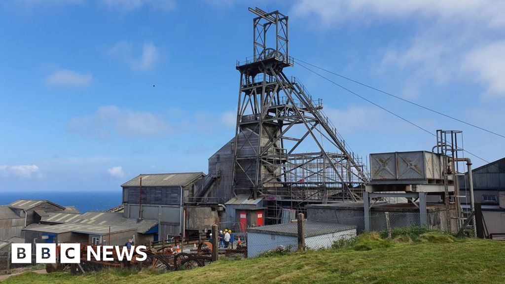 Manganese Mines (Disused)Mining complex · 879 yd
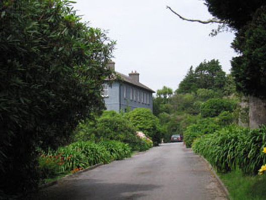 Glandore Househouse · 1134 yd
 Walk 1 - Drombeg Standing Stone Circle (7 - 9 km)Walking route · 1402 yd
 Wild Atlantic WayVisitor information · 1.2 mi
 Drombeg Fulacht Fia and RuinsVisitor information · 1.2 mi
 Drombeg Stone CircleArchaeological place · 1.2 mi
 Myross PointHeadland · 1.2 mi
 Cooks WoodWood · 1.3 mi
 Coastguard StationRuins · 1.4 mi
 Big HeightMountain / peak · 1.5 mi