
What is recorded here
In pasture, utilising a level terrace on a SE-facing ridge slope, which provides good views. To NW the slope rises to the top of the ridge; to SE the slope falls to a flat basin of wet, marshy ground beyond which 190m to E there is a hillock with a rath (MA080-037----) on its summit.
Oval area (37m NW−SE; 46m NE−SW) defined E−SW by a steep scarp (H c. 4m at SE) enhanced by the natural slope; at SW−NW the scarp has been levelled to a low undulation and at N−NE it has been entirely levelled so the it is flush with exterior ground level. The scarp on the SE arc is thickly covered with brambles and blackthorn.
Compiled by: Jane O’Shaughnessy
Date of upload: 30 November 2021
The monument record does not grant public access. Check the route and ask the landowner before entering private land.
- What survives
- Recorded monument
Places near here
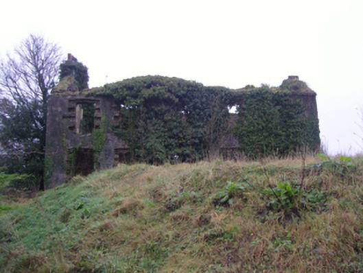 Oxford Housefarm house · 513 yd
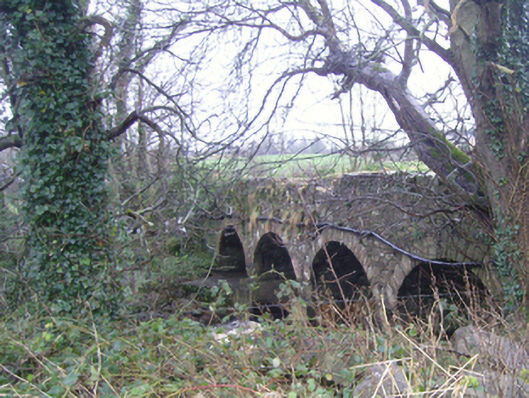 bridgebridge · 685 yd
 Carrowbeg WoodWood · 1071 yd
 LismeelEnclosure · 1099 yd
 CashlankeeghCastle, unclassified · 1387 yd
 Enclosure in BallinamoreEnclosure · 1.2 mi
 I'll Send You The FareMemorial · 1.6 mi
 Kiltimagh MuseumMuseum · 1.7 mi
 Thorn CaveCave · 4.4 mi
 CastleCastle, ringwork · 4.6 mi
 Knock ShrineHeritage attraction · 5.9 mi
 East Mayo Brigade MonumentMemorial · 7.5 mi
Other information
Photo: Credit not shown in the picture search · Rights wording not checked; contact us if this picture should be removed