What is recorded here
A well is marked, but not named, on the 1839 and 1925 eds of the OS 6-inch map close to an avenue leading into Graigue House, which was c. 120m to the W but is now removed. It is situated on a fairly level landscape. This is a rectangular well (dims 0.92m E-W; 0.56m N-S; with a rectangular masonry canopy (ext. dims. 1.48m N-S; 1.39m E-W; H 1.69m) opening (H 1.38m) to the W. The canopy is surmounted by a masonry pyramid (H 1.5m) of three steps which has an indecipherable inscription at the W base, while the pyramid on top bears the incised date 1666 AD. It is possible that the datestone might not be part of the original structure.
The above description is derived from the published 'Archaeological Inventory of County Wexford' (Dublin: Stationery Office, 1996). In certain instances the entries have been revised and updated in the light of recent research.
Compiled by: Michael Moore
Date of upload/revision: 23 July 2013
The monument record does not grant public access. Check the route and ask the landowner before entering private land.
- What survives
- Recorded monument
Places near here
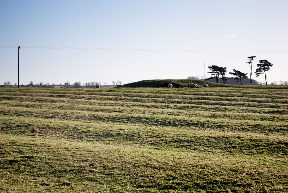 Field system in Graigue (bargy By., Bannow Ed)Field system · 216 yd
 R. C. Chapel (in ruins)Church · 697 yd
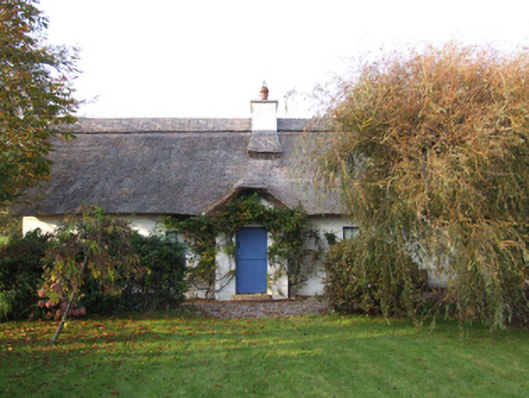 Slade Cottagehouse · 736 yd
 Ladys WellHoly well · 757 yd
 Blackhall StrandBeach / strand · 920 yd
 Bridges ChamberCave · 1107 yd
 Ballymadder PointHeadland · 1327 yd
 Castle (in ruins)Castle, unclassified · 1718 yd
 Cullenstown StrandBeach / strand · 1.3 mi
 1798 MemorialMemorial · 1.4 mi
 IndicatedCastle, tower house · 1.4 mi
 Carrig-On-BannowVisitor information · 1.4 mi