What is recorded here
Located towards the top of a NW-facing slope. Subcircular grass-covered area (dims. 29m E-W; 26m N-S) defined by an earth and stone bank (Wth 4.5-6m; int. H 0.5-1m; ext. H 0.7-1.4m) ENE-SW where it is accompanied by an outer fosse (Wth 3-4m; max. D 0.5m). The bank is reduced to a scarp (H 0.9-1.4m) elsewhere. Possible entrance (Wth 3m) is at NE and there is a quarry inside the perimeter at W. The interior is eroded by cattle.
The above description is derived from the published 'Archaeological Inventory of County Waterford' (Dublin: Stationery Office, 1999). In certain instances the entries have been revised and updated in the light of recent research.
Date of upload/revision: 23 December 2008
The monument record does not grant public access. Check the route and ask the landowner before entering private land.
- What survives
- Recorded monument
Places near here
 Site of Aughnakilla Burial GroundBurial ground · 1351 yd
 IndicatedEnclosure · 1627 yd
 Glen Poer WoodForest · 1706 yd
 Water millWater mill, horizontal-wheeled · 1.1 mi
 CarrigcoumMountain / peak · 1.3 mi
 CarrigseegownaMountain / peak · 1.4 mi
 Ballyclohy Castle (in ruins)Castle, tower house · 1.9 mi
 Pedunculate OakPedunculate Oak · 2.0 mi
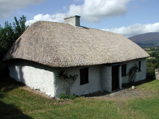 farm housefarm house · 2.1 mi
 Castle (in ruins)Castle, tower house · 2.4 mi
 Curraheen TrailsVisitor information · 2.8 mi
 Maurice DavinMemorial · 3.1 mi