What is recorded here
Indicated is a designed landscape, avenue in Cloonbrackna,cloonybeirne (ballintober South By.), County Roscommon, Ireland. Avenues known as walks connected Roscommon castle to the town during its fortified house phase, with mature trees visible on a 1736 map. A second avenue extended east-northeast for about two kilometres and eighty metres wide, surviving today in fragments as linear fields bounded by earthen banks and hedges.
Avenues, known as walks, from Roscommon castle (RO039-043001-) were part of a designed landscape relating to the fortified house phase (RO039-043010-), and a map of 1736 shows mature trees established on that (RO039-043018-) leading from the castle to the town (Murphy and O'Conor 2008, 32). A second extended ENE (Wth c. 80m; L c. 2 km), and survives in fragments as linear fields (Wth c. 80m) defined by earthen banks and hedges with field drains, although most of it is occupied by private housing.
Compiled by: Michael Moore
Date of upload: 24 August 2010
The monument record does not grant public access. Check the route and ask the landowner before entering private land.
- What survives
- Recorded monument
Places near here
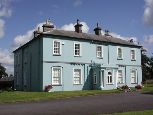 Essex Lawn Househouse · 406 yd
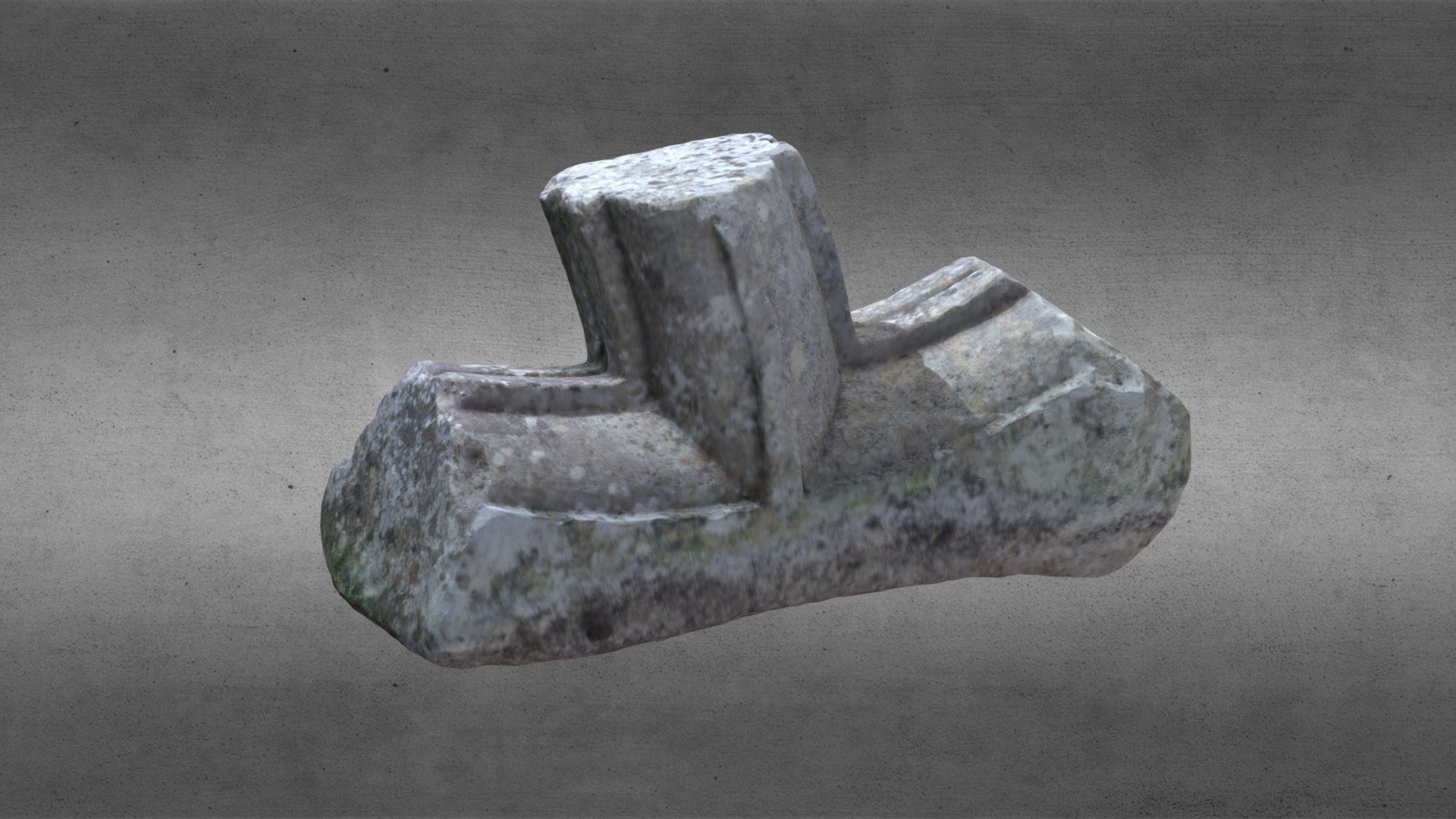 St. Comans VatHoly well · 689 yd
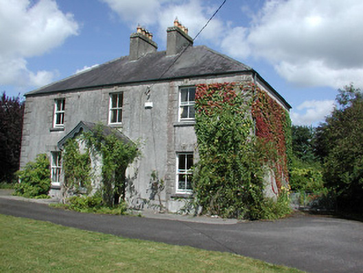 Castleview Househouse · 695 yd
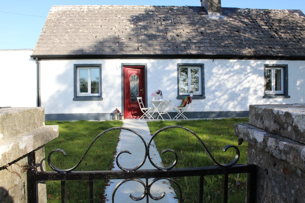 IndicatedHouse, fortified house · 836 yd
 Roscommon CastleCastle · 847 yd
 Lady's WellArchaeological place · 1092 yd
 CastleCastle, unclassified · 1.9 mi
 Big IslandForest · 2.0 mi
 Little IslandForest · 2.0 mi
 Hangman's HillMountain / peak · 5.4 mi
 Galey BayBay · 6.4 mi
 Sally IslandIslet · 7.4 mi