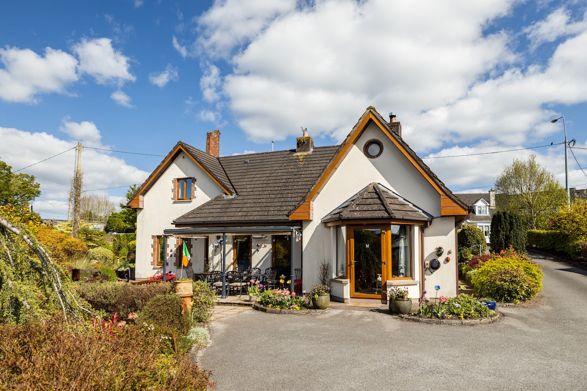
What is recorded here
Indicated is a low earthen ringfort in County Cork pasture, its incomplete bank marking a boundary rather than a defensive wall. The gap faces south, inviting entry instead of blocking it, while the raised northern interior balances the slope. Betty Ville overlookes the strange circle, suggesting the land still remembers a residence that refused ordinary shape.
In pasture, near base of N-facing slope, on demesne of Betty Ville country house. Roughly circular area (43.5m E-W; 40.5m N-S) enclosed by low, insubstantial, earthen bank (int. H 0.75m; ext. H 0.75m). Numerous gaps in bank, largest to S (Wth 3m). Interior raised on N side to compensate for hillslope. May be fort described by Bowman (1934, 43-44) as single-ramparted (diam. 32yd; bank H c. 4ft) on W. Carver's land.
The above description is derived from the published 'Archaeological Inventory of County Cork. Volume 4: North Cork' (Dublin: Stationery Office, 2000). In certain instances the entries have been revised and updated in the light of recent research.
Date of upload/revision: 14 January 2009
The monument record does not grant public access. Check the route and ask the landowner before entering private land.
- What survives
- Recorded monument
Places near here
 Enclosure in GlenlohaneEnclosure · 520 yd
 ListeigeFairy fort / earthen ringfort · 636 yd
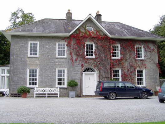 Glenlohane Househouse · 759 yd
 Burial ground in AssolasBurial ground · 1091 yd
 KilnKiln, unclassified · 1325 yd
 European YewEuropean Yew · 1521 yd
 Ballyheen Castle (Site of)Castle, unclassified · 1598 yd
 CastleCastle, unclassified · 1.8 mi
 Kanturk CastleHeritage attraction · 2.0 mi
 Hanna SheehyMemorial · 2.1 mi
 St Fursey's WellSpring · 2.5 mi
 Graveyard in Ballygiblin (duhallow By.)Graveyard · 2.6 mi
Other information
Photo: Credit not shown in the picture search · Rights wording not checked; contact us if this picture should be removed