
What is recorded here
Indicated is a circular rath on the western edge of a gorse-covered valley in County Clare, where a five-metre scarp rises beside a steep natural slope. Sheep still graze around its broken outer bank, treating the ancient ditch as little more than a shadow in the grass. The fort has watched the valley through every changing season, keeping its shape while human memory fades around it.
On the W edge of a gorse covered valley in an area of open, partially improved grazing. Hachured on both the first (1842) and Cassini (1920) editions of the OS 6-inch map. Listed as ‘Enclosure’ in the RMP (1996). This circular rath (int. dims. 23.5m E-W; 22m N-S) is defined by an inner scarp, outside of which a fosse and outer bank survive from SSE-SW-NNW. The scarp (av. H 1.65) is highest (5m) from NE-E-SE, where it runs into a steep natural slope. The steep-sided and flat-bottomed fosse (Wth at base 3-3.8m; max. Wth at top 7.5m) is traceable from SSE-SW-NNW, outside of which an outer bank survives (Wth at base 4-5m; Wth at top 1.5m; int. H over base of fosse 1.8m; ext. H 0.4m) but which has been levelled for a short stretch (L 2-3m) at SW.
Compiled by: Gearóid Conroy and Conn Herriott
Date of upload: 3-10-2025
The monument record does not grant public access. Check the route and ask the landowner before entering private land.
- What survives
- Recorded monument
Places near here
 CastleCastle, unclassified · 379 yd
 Kilconnell Children's Burial GroundArchaeological place · 622 yd
 Promontory fortPromontory fort, coastal · 1626 yd
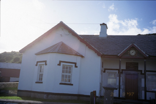 Saint Bridget's National Schoolschool · 1759 yd
 Sightseeing Cliffs of Moher SouthViewpoint · 1.2 mi
 Moher TowerRuins · 1.2 mi
 Bridget's Well;St Bridget's WellSpring · 1.2 mi
 Cliffs of MoherCliff · 1.5 mi
 John P. Holland CentreMuseum · 2.0 mi
 Liscannor Castle (in Ruins)Castle, tower house · 2.1 mi
 Cliffs of Moher Visitor CentreVisitor information · 2.4 mi
 Sea StackMountain / peak · 2.4 mi
Other information
Photo: Credit not shown in the picture search · Rights wording not checked; contact us if this picture should be removed