
What is recorded here
Roadside. Front (S) of 4 bays; off-central doorway to left. Hipped-roof of thatch; attic window at W end; off-centre chimney to right. Occupied (1983). House abandoned late 1980s and subsequently unroofed and partially demolished. Remaining ruin demolished in 2016 and replaced by modern bungalow following a grant of planning permission by Cork County Council.
The above description is derived from the published 'Archaeological Inventory of County Cork. Volume 2: East and South Cork' (Dublin: Stationery Office, 1994). In certain instances the entries have been revised and updated in the light of recent research. Description updated by courtesy of Eamonn Cotter.
Date of upload/revision: 17 January 2019
The monument record does not grant public access. Check the route and ask the landowner before entering private land.
- What survives
- Recorded monument
Places near here
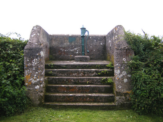 water pumpwater pump · 623 yd
 Ballygeanymore Housecountry house · 1129 yd
 Enclosure in BallycottonEnclosure · 1562 yd
 Enclosure in MaytownEnclosure · 1.1 mi
 Mary StandfordMemorial · 1.3 mi
 P.N.L.B. Mary StandfordWreck · 1.3 mi
 Ballycotton Island (Small)Islet · 1.8 mi
 Garryvoe BeachBeach / strand · 2.2 mi
 Ballycotton IslandIslet · 2.3 mi
 CastleCastle, tower house · 3.0 mi
 Garryvoe Castle (in Ruins)Castle, tower house · 3.3 mi
 Ballycroneen BeachBeach / strand · 3.5 mi
Other information
Photo: Credit not shown in the picture search · Rights wording not checked; contact us if this picture should be removed