What is recorded here
Three rectangular houses are shown on the 1838 OS 6-inch map in the N half of the island. Noone (1991, 108) recorded that 'At the north eastern end of the island are the ruins of about six dwellings of stone and mortar which contained two apartments of equal size.' The island is densely covered in fern which conceals the remains. The best preserved house (c. 11m NW–SE; 3m NE–SW; Wall T 0.5m, H 0.8m) at ITM 482599 829927 has a slightly sunken interior and a break/doorway (Wth 1.8m) in the middle of the SW wall, and another break (Wth 1m) in the NE wall. It appears to date to the 19th-century.
Compiled by: Jane O'Shaughnessy
Date of upload: 20 January 2016
The monument record does not grant public access. Check the route and ask the landowner before entering private land.
- What survives
- Recorded monument
Places near here
 Derreens IslandIslet · 211 yd
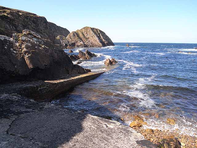 IndicatedChurch · 475 yd
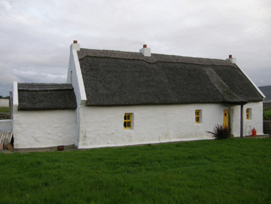 farm housefarm house · 1.0 mi
 Enclosure in An Cheathrú MhórEnclosure · 1.9 mi
 Enclosure in Ráth MuireagáinEnclosure · 2.1 mi
 Gortmore IslandIslet · 2.4 mi
 Domhaill's GraveArchaeological place · 3.3 mi
 Site of CastleCastle, unclassified · 4.3 mi
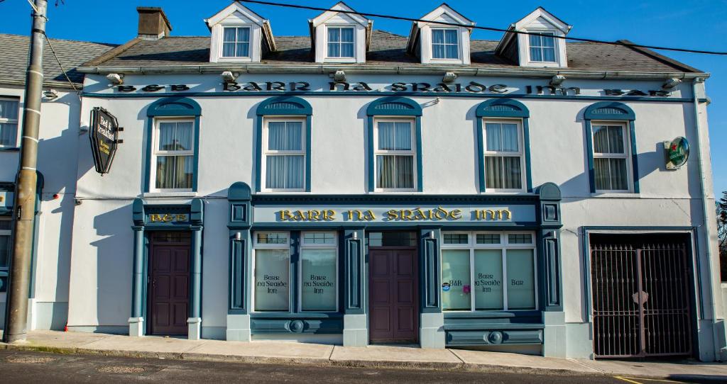 Barr na CoilleadhMountain / peak · 4.8 mi
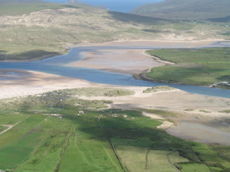 Sruth Fada ConBay · 4.9 mi
 Site of Myles Barretts CastleCastle, unclassified · 5.2 mi
 HawthornHawthorn · 5.2 mi