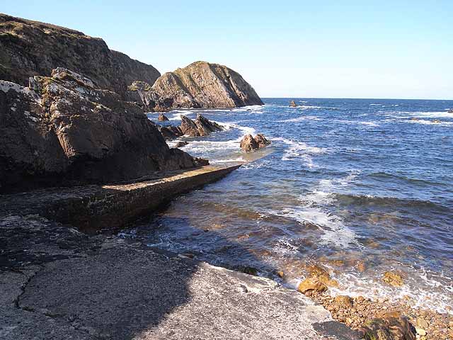
What is recorded here
Located at the southern tip of Derreens Island in the NW end of Carrowmore Lake. Indicated on the 1838 OS 6-inch map but not on the 1921 edition. The outline of a rectangular building (15.5m NE–SW; 7m NW–SE) is evident, defined by the lower courses of a stone wall (Wth 0.6m; H 0.6m). The wall is largely sod-covered but in parts rectangular-shaped stone blocks are be seen. There appears to be a break in the middle of the NE wall, and also in the middle of the NW and SE walls. The entire building is concealed by a dense growth of ferns. According to local information, this building was used as a church.
Compiled by: Jane O'Shaughnessy
Date of upload: 20 January 2016
The monument record does not grant public access. Check the route and ask the landowner before entering private land.
- What survives
- Recorded monument
Places near here
 Derreens IslandIslet · 278 yd
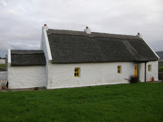 farm housefarm house · 1.3 mi
 Enclosure in Ráth MuireagáinEnclosure · 2.0 mi
 Gortmore IslandIslet · 2.1 mi
 Enclosure in An Cheathrú MhórEnclosure · 2.1 mi
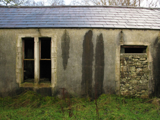 Glenturk Lodgehunting/fishing lodge · 2.7 mi
 Domhaill's GraveArchaeological place · 3.3 mi
 Site of CastleCastle, unclassified · 4.5 mi
 HawthornHawthorn · 4.9 mi
 Barr na CoilleadhMountain / peak · 5.1 mi
 Sruth Fada ConBay · 5.2 mi
 Site of Myles Barretts CastleCastle, unclassified · 5.4 mi
Other information
Photo: Credit not shown in the picture search · Rights wording not checked; contact us if this picture should be removed