What is recorded here
Enclosure in Ráth Muireagáin is an enclosure in County Mayo, Ireland.
From the National Monuments Service (Archaeological Survey of Ireland) record MA018-006002
The monument record does not grant public access. Check the route and ask the landowner before entering private land.
- What survives
- Recorded monument
Places near here
Dun Domhaill (in Ruins)Promontory fort, inland · 1.8 miDun DomhnaillArchaeological place · 1.8 miDomhaill's GraveArchaeological place · 1.9 mi Derreens IslandIslet · 2.0 miMunhin BridgeBridge · 2.1 miGlencastle BridgeBridge · 2.2 miHawthorn4.7 miSruth Fada ConBay · 6.9 miCuan an Fhóid DuibhBay · 7.2 miHouseHouse, fortified house · 9.6 miSlieve CarrMountain / peak · 10 miWild Nephin National ParkNature reserve · 10 mi
 Derreens IslandIslet · 2.0 mi
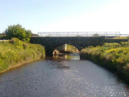 Munhin BridgeBridge · 2.1 mi
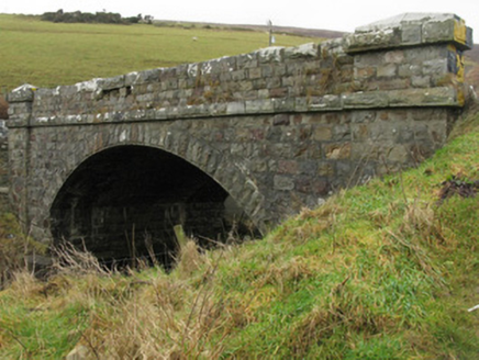 Glencastle BridgeBridge · 2.2 mi
 Hawthorn4.7 mi
 Sruth Fada ConBay · 6.9 mi
 Cuan an Fhóid DuibhBay · 7.2 mi
 HouseHouse, fortified house · 9.6 mi
 Slieve CarrMountain / peak · 10 mi
 Wild Nephin National ParkNature reserve · 10 mi
Pictures: Oliver Dixon, Geograph · CC BY-SA 2.0; National Inventory of Architectural Heritage; Didier Descouens, Wikimedia Commons · CC BY-SA 4.0; Socleary, Wikimedia Commons · Public domain; Own work, Wikimedia Commons · CC BY-SA 3.0; dougf, Geograph · CC BY-SA 2.0; Colin Park, Wikimedia Commons · CC BY-SA 2.0; Phil Armitage, Wikimedia Commons · Public domain
More archaeology and monuments in County Mayo · All of County Mayo
What do you know about this place?