
What is recorded here
Half-submerged in Lough Gowna until the water dropped, the fort on Inchmore Island kept its C-shaped bank and outer ditch hidden beneath the lake. When the level fell, the earth and stone emerged as a raised rectangle with a triangular bastion at its south end, though no record exists of such a feature ever being built there. The water may have concealed the true shape of the fort for centuries, revealing only what it chose to show.
On the SE shore of Inchmore Island at the S end of Lough Gowna. Depicted as an enclosure with the designation 'Fort' on the 1837 ed. of the OS 6-inch map where it is represented as a C-shaped bank, curving from S-W-NNE, with the lakeshore forming its E boundary. The lake levels were lowered during the 20th century and the monument now consists of a raised subrectangular area (c. 44.5m NNE-SSW; c. 25.6m NNW-SSE), which is defined from WSW-W-NW by a substantial bank of earth and stone (Wth 2.9-4.9m; H 0.5-1.4m) with a wide, deep, flat bottomed, external fosse (Wth c. 6.8-8.2m; D 0.9-1.2m). The remains of an outer bank (Wth c. 2m; H 0.2-0.4m) are visible from S-W-NNW. Elsewhere the banks have been levelled but ephemeral remains of the inner bank are visible and the fosse is clearly recognisable as a depression (D 0.2-0.5m) occupied by scrub. The SE edge towards the lake is defined by a scarp (H c. 0.3–c. 1.5m). At the S end of the enclosure is a raised, flat-topped, triangular-shaped feature with the acute angle pointing to the S. This has the appearance of a bastion or redoubt (Wth 6.9m; H 0.75-2.2m) though there is no record of such ever having been built on the island. The relationship between it and the enclosure is unclear and the possibility that the bastion-like feature may be a later addition cannot be ruled out.
Compiled by: Patrick F. O'Donovan
Date of upload: 26 June 2013
The monument record does not grant public access. Check the route and ask the landowner before entering private land.
- What survives
- Recorded monument
Places near here
 InchmoreIslet · 252 yd
 Columbkilles StoneRitual site, holy/saint's stone · 263 yd
 Abbey (in Rns)Religious house, Augustinian canons · 372 yd
 Derrycassan WoodsWood · 1561 yd
 Sonnagh fortArchaeological place · 1.6 mi
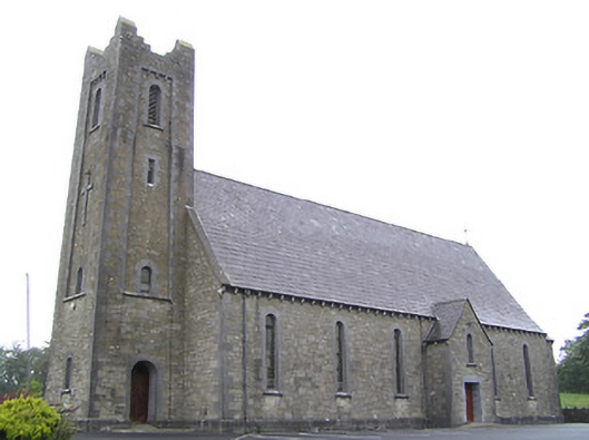 Saint Columba's Catholic Churchchurch/chapel · 1.9 mi
 Mulrick WoodlandForest · 2.5 mi
 BawnBawn · 2.5 mi
 Arnaghan SouthMountain / peak · 3.0 mi
 Cloone Ho.Castle, unclassified · 3.3 mi
 CornagranMountain / peak · 3.4 mi
 Scrabby IslandIslet · 3.4 mi
Other information
Photo: Credit not shown in the picture search · Rights wording not checked; contact us if this picture should be removed