What is recorded here
That is a fairy fort in Iffernock, County Meath. It is also an earthen ringfort. The ground there is level, but the circle is easy to see from above. Two rings of ditch mark the edge of the old place. The inner ring is about thirty-five metres across, and the outer ring is about sixty-five metres across. People may have lived inside, kept animals inside, or simply avoided the whole circle because it belonged to someone else. The fairies may have done nothing at all, which would have made the fort even more interesting.
Situated on a fairly level landscape. Aerial photograph (GB89.E.18) shows the cropmark of a circular enclosure defined by two widely spaced concentric fosses (int. diam. c. 35m; ext. diam. c. 65m), probably a rath.
Compiled by: Dr Gillian Barrett for the Archaeological Survey of Ireland.
Date of upload: 10 June 2009
Amended: 8 July, 2019
The monument record does not grant public access. Check the route and ask the landowner before entering private land.
- What survives
- Recorded monument
Places near here
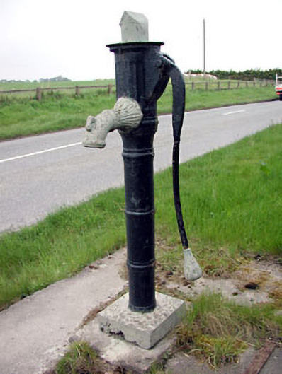 water pumpwater pump · 1051 yd
 Church (in Ruins)Church · 1281 yd
 CastleCastle, motte · 1389 yd
 Scurlogstown CastleArchaeological place · 1433 yd
 Newtown AbbeyCathedral · 1660 yd
 CrossCross, High cross (present location) · 1729 yd
 Saints IslandForest · 2.6 mi
 Small-leaved ElmSmall-leaved Elm · 3.4 mi
 MullaghMountain / peak · 7.9 mi
 Kilgar GardensHeritage attraction · 8.1 mi
 Larchil Arcadian GardensHeritage attraction · 8.3 mi
 Old Bog Road made famous by Teresa Bryton 1868-1943Memorial · 8.5 mi