What is recorded here
Located towards the N edge of a broad hill. An aerial photograph (GB89.E.20) shows the cropmark of a circular enclosure (diam. c. 35m) defined by a fosse. The enclosure is also visible on OSI images (1995) where an internal circular feature (diam. c. 10m) is also visible. A housing estate, built in the late 2000s, now occupies the site of this monument.
Compiled by: Paul Walsh
Date of upload: 24 February 2012
Amended: 8 July 2019
The monument record does not grant public access. Check the route and ask the landowner before entering private land.
- What survives
- Recorded monument
Places near here
 St. Johns FriaryReligious house, Fratres Cruciferi · 365 yd
 IndicatedCastle, tower house · 375 yd
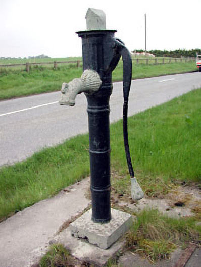 water pumpwater pump · 451 yd
 Newtown AbbeyCathedral · 627 yd
 CrossCross, High cross (present location) · 646 yd
 CastleCastle, motte · 1593 yd
 Small-leaved ElmSmall-leaved Elm · 3.1 mi
 Saints IslandForest · 3.2 mi
 MullaghMountain / peak · 8.5 mi
 Kilgar GardensHeritage attraction · 8.7 mi
 Larchil Arcadian GardensHeritage attraction · 8.9 mi
 Old Bog Road made famous by Teresa Bryton 1868-1943Memorial · 9.1 mi