What is recorded here
Twenty4 people lie buried at the east end of a low gravel ridge in Iffernock, their heads pointing west and their bodies aligned in two tight groups. They were juvenile to adult, male and female, placed supine in a small area barely seventeen metres long. The ridge still stands while the lives beneath it have vanished, leaving only the discipline of their arrangement to mark where they belonged.
Located at the E end of a low E-W gravel ridge. Archaeological monitoring (03E1828) on an extensive residential and leisure development identified human remains in a relatively small area (dims 17m x 9m) and close to the surface (Site 2). These were subsequently excavated under the same licence when 24 inhumations were recorded as well as some disarticulated human remains. All the burials were aligned W-E in a supine position with the heads at W and included males and females ranging in age from juvenile to adult. Two concentrations of burials were noted. (Delany 2008; Delany and O’Hara 2009, 3:3, 4:2)
Compiled by: Michael Moore
Date of upload: 9 July, 2019
The monument record does not grant public access. Check the route and ask the landowner before entering private land.
- What survives
- Recorded monument
Places near here
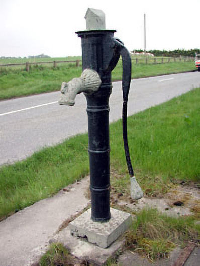 water pumpwater pump · 554 yd
 IndicatedCastle, tower house · 628 yd
 St. Johns FriaryReligious house, Fratres Cruciferi · 629 yd
 Newtown AbbeyCathedral · 828 yd
 CrossCross, High cross (present location) · 914 yd
 CastleCastle, motte · 1576 yd
 Saints IslandForest · 3.0 mi
 Small-leaved ElmSmall-leaved Elm · 3.2 mi
 MullaghMountain / peak · 8.4 mi
 Kilgar GardensHeritage attraction · 8.6 mi
 Larchil Arcadian GardensHeritage attraction · 8.8 mi
 Old Bog Road made famous by Teresa Bryton 1868-1943Memorial · 8.9 mi