What is recorded here
'This is a complex of three denuded huts. A circular area of collapse 3m in diameter, 0.4m high is probably the reamins of a hut. A curving arc of stones 5m to the south, one course in height and 2m in diameter is the remains of a second hut. Immediately to the south is an area of stone collapse, 5m in diameter, 0.6m high, and is probably the remains of another hut. Several intermittent stretches of low walling were noted in the immediate area.'
The above description was published in F. Coyne, 'Islands in the clouds: an upland archaeological study on Mount Brandon and the Paps, Co. Kerry.' (Kerry Co. Council in association with Aegis Archaeology, 2006).
Date of upload: 15 December 2011
The monument record does not grant public access. Check the route and ask the landowner before entering private land.
- What survives
- Recorded monument
Places near here
 Field boundary in DerrynafinniaField boundary · 81 yd
 The Paps EastMountain / peak · 984 yd
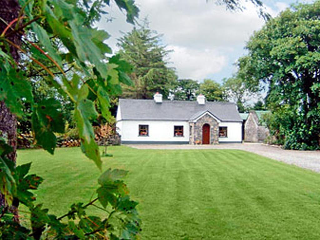 Clydagh LodgeCountry house · 1644 yd
 KilnKiln, lime · 1717 yd
 The Paps WestMountain / peak · 1749 yd
 SheepfoldEnclosure · 1.1 mi
 BarraduffMemorial · 4.8 mi
 Cascade WoodWood · 5.7 mi
 Killaha Castle (in Ruins)Castle, tower house · 5.8 mi
 Castle (Site of)Castle, unclassified · 5.8 mi
 Nohaval WoodWood · 6.3 mi
 Sli Gaeltacht MuscraiWalking route · 7.4 mi