What is recorded here
Hut site described by Cuppage (1986, 228, no. 715) as follows; 'The circular enclosure [KE035-046001-] shown here on the OS maps has been severely modified. It is situated on level, poorly drained pastureland less than 100m W of the Scorid river and about a half-mile S of Brandon Bay. The monument survives as an irregular oval mound of earth and stones measuring 17.3m NW-SE and 12m NE-SW across its upper surface. A depression, 4m in diameter, which abuts the bank at W may mark the position of a hut-site, but other irregularities on the surface of the mound do not form any recognisable pattern'.
The monument record does not grant public access. Check the route and ask the landowner before entering private land.
- What survives
- Recorded monument
Places near here
 Enclosure in Cnoc Na NgabharEnclosure · 16 yd
 St. Nicholass WellHoly well · 694 yd
 Church in Cill An UrdráinChurch · 1216 yd
 Drom BeachBeach / strand · 1278 yd
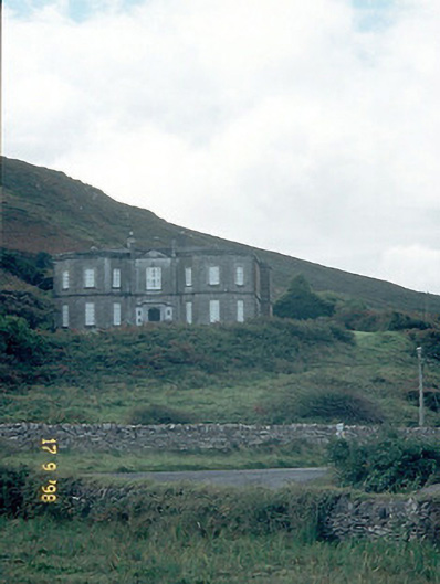 Fermoyle Househouse · 1.1 mi
 Site of CastleCastle, unclassified · 1.1 mi
 Hillville WoodWood · 1.3 mi
 An t'Oileán DubhIslet · 1.4 mi
 An CheapaighBeach / strand · 1.6 mi
 Binn an TuairMountain / peak · 1.8 mi
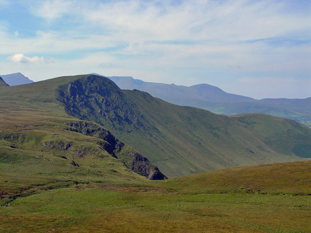 Gob an IolairMountain / peak · 2.1 mi
 Pointe na CathrachHeadland · 2.3 mi