What is recorded here
In rough hill pasture, on a SE-facing rocky slope overlooking Lough Reagh. The remains of a rectangular hut site (4.2m E-W; 2.1m N-S) defined by the vertical remains of outcropping rock at W and elsewhere by a collapsed, crudely built, drystone wall (T 0.65m; H 1.2m). The lower courses of the wall consist of large stones. There is an entrance (Wth 0.6m) at the N. Rubble obscures the interior and is scattered downslope to the S. There is another hut site (KE073-053002-) and a standing stone (KE073-053001-) c. 36m to the ESE. A charcoal-making site (KE073-053004-) is c. 25m to the SE.
The above description is derived from the published 'Archaeological Inventory of County Kerry. Volume I: South-West Kerry' (Dublin: Stationery Office, 2009). In certain instances the entries have been revised and updated in the light of recent research.
Date of upload: 30 May 2011
The monument record does not grant public access. Check the route and ask the landowner before entering private land.
- What survives
- Recorded monument
Places near here
 Enclosure in BunbinniaEnclosure · 1014 yd
 Enclosure in Curragh MoreEnclosure · 1295 yd
 BroaghnabinniaMountain / peak · 1693 yd
 Brassel MountainMountain / peak · 1.1 mi
 CarrauntoohilMountain / peak · 2.2 mi
 Crash site of USAAF DakotaHeritage attraction · 2.4 mi
 Devil's Ladder RouteWalking route · 2.7 mi
 Eirk Bog Nature ReserveNature reserve · 2.9 mi
 Moll's GapViewpoint · 3.5 mi
 Head of DunloeViewpoint · 3.7 mi
 Lord Brandon's CottageRuins · 4.2 mi
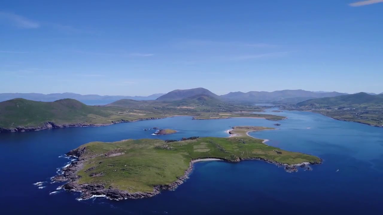 McCarthy's IslandIslet · 4.9 mi