What is recorded here
The 3rd group of structures lies c. 75m to SW of the 2nd and consists of 1 definite and 2 possible hut sites.
(1) (KE051-009----) A subcircular drystone foundation. D: c. 3m. H: .36m.
(2) KE051-009001- & KE051-009002-) The possible hut sites consist of an oval and a sub-rectangular hollow cut back into the hill slope and enclosed on their downslope sides by low stony banks. D: 2.3 x 2m and 3.6 x 5.35m.
The above description is derived from J. Cuppage, ‘Corca Dhuibhne. Dingle Peninsula archaeological survey. Ballyferriter. Oidhreacht Chorca Dhuibhne’ (1986), no. 1381. In certain instances the entries have been revised and updated in the light of recent research.
Date of upload: 5 August 2013
The monument record does not grant public access. Check the route and ask the landowner before entering private land.
- What survives
- Recorded monument
Places near here
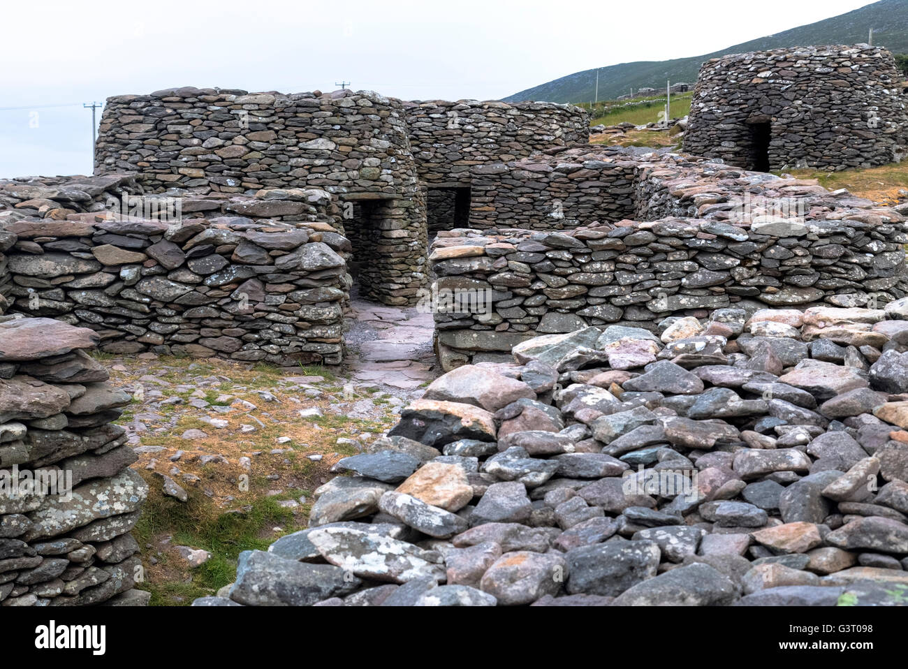 Hut site in An Blascaod MórHut site · 11 yd
 Clochan in An Blascaod MórClochan · 279 yd
 An Cró MórMountain / peak · 905 yd
 An Blascaod MórIsland · 1.2 mi
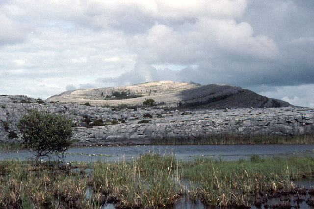 An Mullach RamharMountain / peak · 1.2 mi
 Inis na BróIslet · 2.4 mi
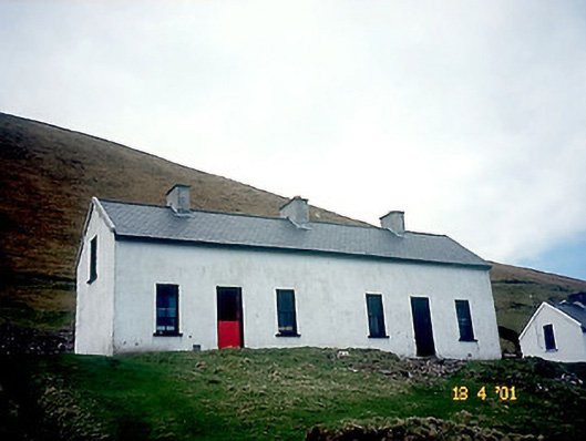 Tigh Peig Sayers [Peig Sayers's House]house · 2.8 mi
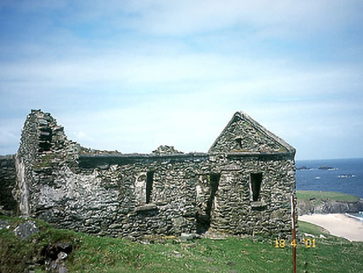 Tigh Muirs Ó Suilleabháin [Maurice O'Sullivan's House]house · 2.8 mi
 Inis Mhic UileáinIsland · 3.1 mi
 Rinn Chuas an ÉinHeadland · 3.2 mi
 An Dún MórHeadland · 4.1 mi
 Dunmore HeadViewpoint · 4.1 mi