
What is recorded here
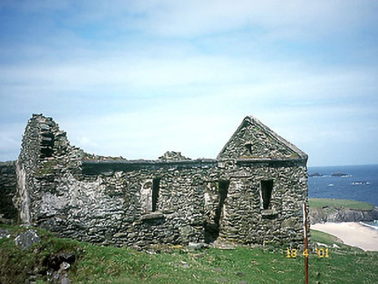
The final hut group consists of 3 conjoined clochauns located a few metres from the cliff-edge that bounds the NW side of the island. The central hut KE051-006---- is oval in plan and of corbelled drystone construction. Two small wall niches in the interior. An entrance at SE communicated with the SE hut and a 2nd entrance at E probably led to the exterior. D: 4.05 x 2.8m. H: .9m. The SE and NE huts are badly ruined but the former may have had an independent entrance at ESE. D: 4.65m and c. 3 x 4m.
The above description is derived from J. Cuppage, ‘Corca Dhuibhne. Dingle Peninsula archaeological survey. Ballyferriter. Oidhreacht Chorca Dhuibhne’ (1986), no. 1382. In certain instances the entries have been revised and updated in the light of recent research.
Date of upload: 5 August 2013
The monument record does not grant public access. Check the route and ask the landowner before entering private land.
- What survives
- Recorded monument
Places near here
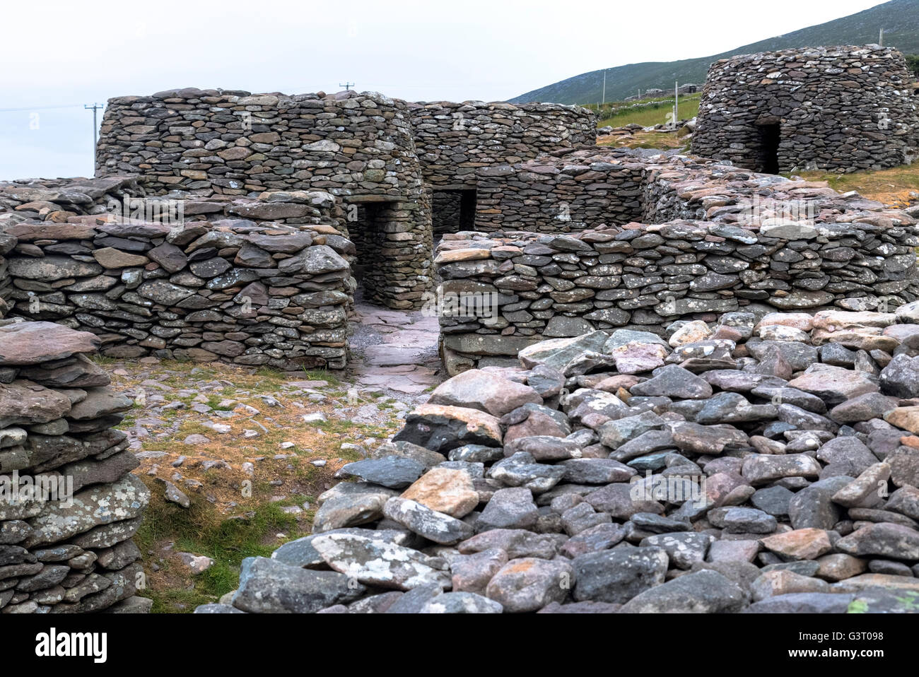 Hut site in An Blascaod MórHut site · 286 yd
 Megalithic structure in An Blascaod MórMegalithic structure · 489 yd
 An Cró MórMountain / peak · 850 yd
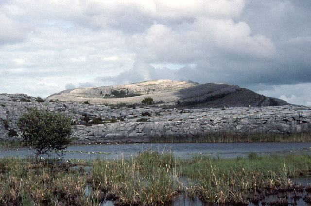 An Mullach RamharMountain / peak · 1.2 mi
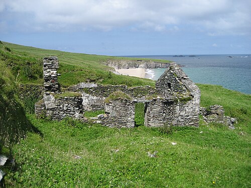 An Blascaod MórIsland · 1.2 mi
 Inis na BróIslet · 2.4 mi
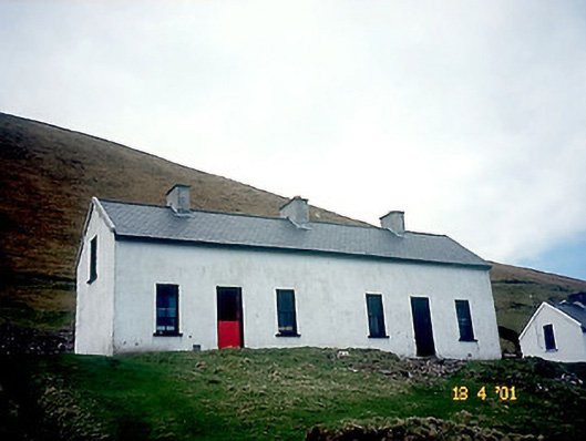 Tigh Peig Sayers [Peig Sayers's House]house · 2.8 mi
 Tigh Muirs Ó Suilleabháin [Maurice O'Sullivan's House]house · 2.8 mi
 Inis Mhic UileáinIsland · 3.1 mi
 Rinn Chuas an ÉinHeadland · 3.3 mi
 An Dún MórHeadland · 4.2 mi
 Dunmore HeadViewpoint · 4.2 mi
Other information
Photo: Billy Horan · CC BY-SA 4.0