What is recorded here
Situated on a slight NNW facing slope in relatively low lying grassland, surrounded by hilly land from N-E-S. The stream which marks the townland boundary with Piercefield is 25m to the N. A rectangular house site (approx. dims. int. 9m NE-SW; 2.5m NW-SE) and square annexe (approx. dims. 1.5m) to NE with an entrance gap at NW (Wth 1m) is visible in S quadrant of the interior of ringfort (WM011-095---) abutting the inner face of the bank.
See attached plan of monument surveyed and drawn by the ASI.
Compiled by: Frank Coyne and Caimin O'Brien
Date of upload: 24 August 2017
The monument record does not grant public access. Check the route and ask the landowner before entering private land.
- What survives
- Recorded monument
Places near here
 IndicatedBawn · 637 yd
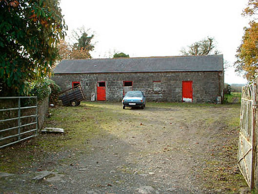 outbuildingoutbuilding · 918 yd
 Templeoran ChurchChurch · 1222 yd
 Castle Quarter, Castle (in ruins)Castle, unclassified · 1715 yd
 Partially hachuredFairy fort / ringfort · 1.0 mi
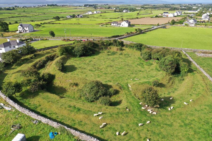 Fairy fort / ringfort in Grange (moygoish By.)Fairy fort / ringfort · 1.0 mi
 Baronstown ForestWood · 2.5 mi
 Carrickphilbin IslandIslet · 2.5 mi
 Horse-chestnutHorse-chestnut · 2.7 mi
 Srudarra IslandIslet · 3.3 mi
 Bridge Memorial (Kenna)Memorial · 3.6 mi
 Rock of CurryCliff · 11 mi