What is recorded here
The remains of a house (L 7.5m; Wth 3m) defined by a low earth bank (Wth 1m; H 0.2m) oriented WNW-ESE with a possible entrance (Wth 1m) on the north long wall. Located east of centre of ringfort (WI039-048----) on a terrace cut into the slope.
Compiled by: Chris Corlett and Claire Breen
Date of upload: 21 May 2013
The monument record does not grant public access. Check the route and ask the landowner before entering private land.
- What survives
- Recorded monument
Places near here
 IndicatedFairy fort / earthen ringfort · 8 yd
 Enclosure in Moneyteige SouthEnclosure · 611 yd
 Croghan KinsellaMountain / peak · 1.0 mi
 Raheenleagh ForestForest · 1.3 mi
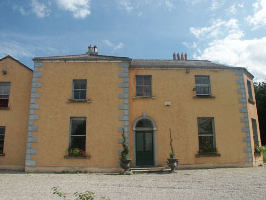 Clone Housefarm house · 1.9 mi
 Church (in Ruins)Church · 2.0 mi
 White Heaps 1798Memorial · 2.1 mi
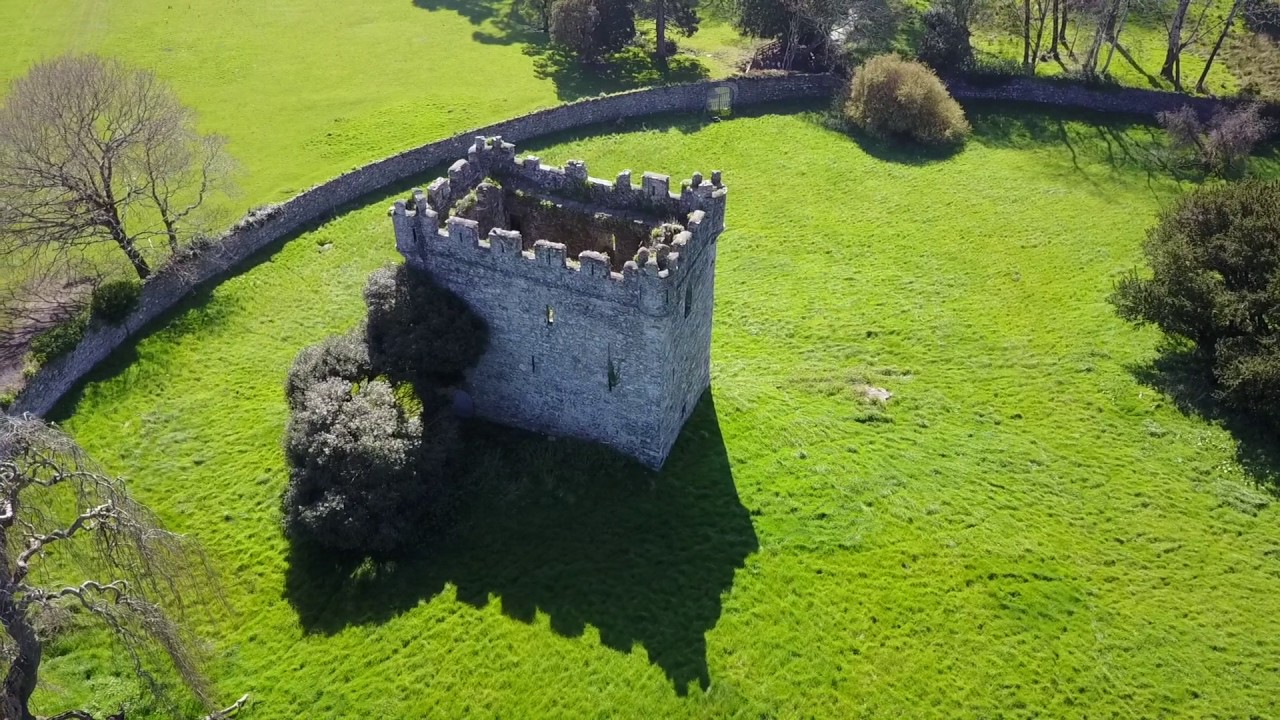 (Site of) Castle & RampartCastle, unclassified · 2.3 mi
 CastleCastle, motte · 2.3 mi
 Monalee HillMountain / peak · 2.5 mi
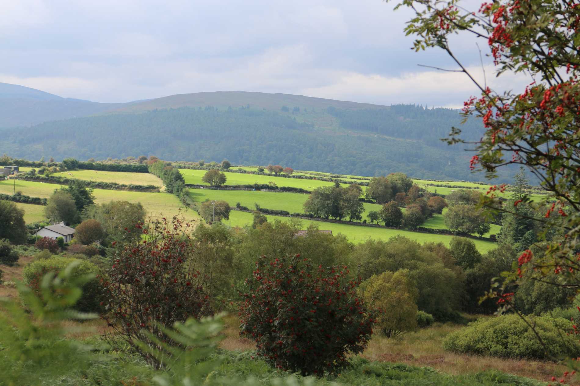 Roddenagh WoodForest · 3.0 mi
 Woodenbridge World War One MemorialMemorial · 3.7 mi