What is recorded here
Situated on top of a ridge in undulating countryside. Ringfort (WM009-019----) 160m to SSE. Grass-covered wall footings (H 0.3m; Wth 0.3m) of a rectangular house site (dims. 9m NE-SW; 4m NW-SE) visible. This house site is associated with a field system. Possible house site visible as a cropmark on Digital Globe aerial photograph taken November 2011.
Compiled by: Frank Coyne and Caimin O'Brien
Date of upload: 28 April 2017
The monument record does not grant public access. Check the route and ask the landowner before entering private land.
- What survives
- Recorded monument
Places near here
 OutlinedFairy fort / earthen ringfort · 889 yd
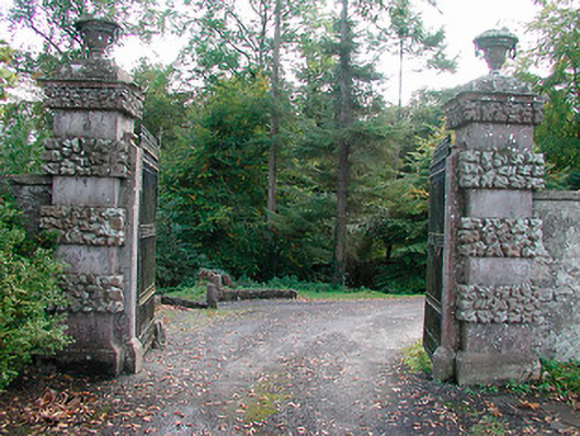 Ballinlough Castledemesne walls/gates/railings · 1131 yd
 Dervotstown CastleCastle · 1501 yd
 Persian WalnutPersian Walnut · 1523 yd
 European YewEuropean Yew · 1632 yd
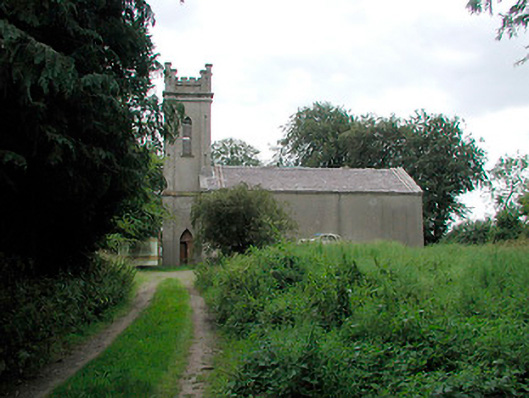 Saint John's Church (Killua)church/chapel · 1.0 mi
 CastleCastle, unclassified · 1.4 mi
 Enclosure in Heathstown (delvin By.)Enclosure · 1.5 mi
 Drewstown LittleMountain / peak · 2.4 mi
 CloncatMountain / peak · 3.7 mi
 Causey FarmHeritage attraction · 4.0 mi
 FarmaphobiaHeritage attraction · 4.0 mi