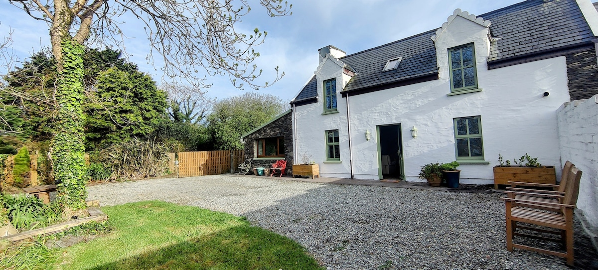
What is recorded here
In grassland, with cliff-edge fort (KE004-011----) and Man-made underground passage (KE004-011001-) 220m to N, promontory fort (KE004-068----) 350m to W, second promontory fort (KE004-018----) 240m to SSW. Grass-covered wall footings of a two-room rectangular-shaped house aligned NNE-SSW on its long axis with possible projecting angle block at N visible on Digital Globe orthoimages taken between 2011-13. Outline of levelled house site visible on Google Earth orthophoto taken 02/04/2021.
See attached Google Earth orthophotos
Compiled by: Caimin O'Brien
Date of upload: 6 October 2022
The monument record does not grant public access. Check the route and ask the landowner before entering private land.
- What survives
- Recorded monument
Places near here
 Man-made underground passage in Doon WestMan-made underground passage · 324 yd
 Doon Catholic Churchchurch/chapel · 455 yd
 Nuns' BeachBeach / strand · 520 yd
 Dookeenee CastleCastle · 733 yd
 Doon Castle (in ruins)Castle, unclassified · 876 yd
 Doon PointHeadland · 910 yd
 Ballybunion Cliff PathWalking route · 1023 yd
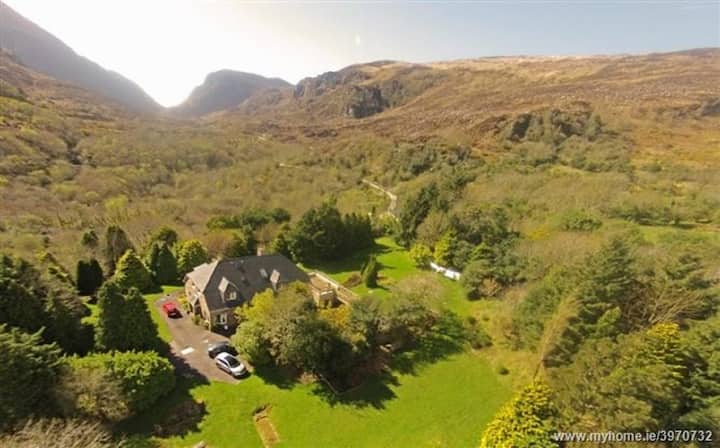 ToberreendoneyHoly well · 1101 yd
 Ladies' BeachBeach / strand · 1179 yd
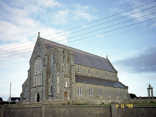 Saint John's Catholic Churchchurch/chapel · 1225 yd
 PulleenIslet · 1685 yd
 Bromore CliffsCliff · 1723 yd
Other information
Photo: Credit not shown in the picture search · Rights wording not checked; contact us if this picture should be removed