What is recorded here
Some 40m SSE of cashel (GA086-047001-) are traces of a rectangular house (NNE-SSW; L 6.5m, Wth 2.5m) defined by low grass-covered stony banks; best preserved along ESE and SSW sides. A similar house (GA086-047007-) lies c. 100m to ESE.
The above description is derived from the published 'Archaeological Inventory of County Galway Vol. II - North Galway'. Compiled by Olive Alcock, Kathy de hÓra and Paul Gosling (Dublin: Stationery Office, 1999).
Date of upload: 21 October 2016
The monument record does not grant public access. Check the route and ask the landowner before entering private land.
- What survives
- Recorded monument
Places near here
 Man-made underground passage in BallymabillaMan-made underground passage · 160 yd
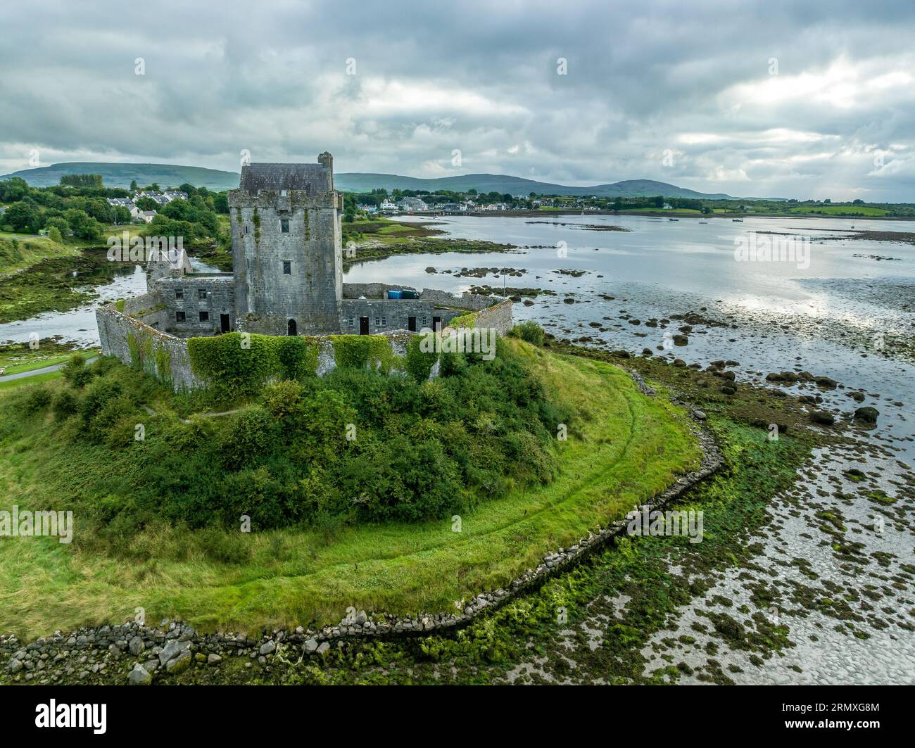
 LisnafinnogeFairy fort / earthen ringfort · 1.0 mi
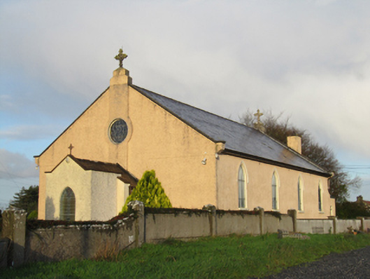 Saint Michael's Catholic Churchchurch/chapel · 1.1 mi
 Quarry in CappataggleQuarry · 1.3 mi
 Site of Lisnamoltaun CastleCastle, unclassified · 1.8 mi
 CastleCastle, unclassified · 1.8 mi
 Large-leaved LimeLarge-leaved Lime · 3.4 mi
 Kilconnell AbbeyHeritage attraction · 3.7 mi
 Western RedcedarWestern Redcedar · 3.8 mi
 Dartfield Horse MuseumHeritage attraction · 4.5 mi
 Battle of Aughrim Interpretative CentreMuseum · 5.0 mi
 Battle of AughrimMajor battlefield · 5.2 mi