What is recorded here
On a ridge of rock outcrop in upland region with panoramic views in all directions. Evidence of earthworks on aerial photographs (CUCAP 1968, AVS 49) which are suggestive of a medieval or post-medieval settlement around the church (TS054-009001-). Possible house, 13m WNW of the church, consists of a rectangular area (dims. 10.5m N-S; 7m E-W), aligned N-S, defined by grassed-over wall-footings (Wth 1.8m crest; 3.3m base; int. H 0.3m; ext. H 0.44m) with a gap (Wth 2.4m), probably an entrance, in the E wall and a low grass-covered possible internal division (Wth 1.1m; max. H 0.2m) running E-W . The wall-footings of two other possible house sites have been identified (TS054-009003-; TS054-009005-) the former 35m to the NW, the latter 20m SE of the church, a large enclosure (TS054-009006-) 44m to the NE and a smaller enclosure (TS054-009007-) which encloses an area immediately NW of the church.
Compiled by: Jean Farrelly
Date of upload: 26 August 2011
The monument record does not grant public access. Check the route and ask the landowner before entering private land.
- What survives
- Recorded monument
Places near here
 Church (in Ruins)Church · 21 yd
 Enclosure in Ballintogher (graystown Par.)Enclosure · 52 yd
 Church Hill, BallintogherRuins · 53 yd
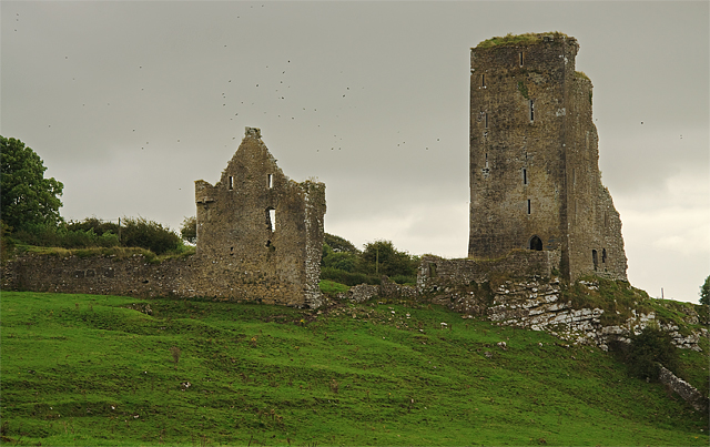 Bawn in GraystownBawn · 963 yd
 Castle (in ruins)Castle, tower house · 1193 yd
 Enclosure in Knockavadagh,springhill (killenaule Par.)Enclosure · 1568 yd
 Slieveardagh Heritage CentreVisitor information · 1.5 mi
 Gobban Saer's GraveArchaeological place · 2.0 mi
 Noan WoodWood · 2.2 mi
 Derrynaflan TrailHeritage attraction · 2.8 mi
 Taylor's WoodWood · 3.0 mi
 Waterloo HillMountain / peak · 3.2 mi