What is recorded here
Situated on the W edge at the top of a small ridge, in pasture, with good views to N, E and W blocked by a higher ridge to S. Castle (WM018-110----) and ringfort (WM018-108----) lie c. 115m to SW and NW, respectively. Depicted on the revised 1913 ed. OS 25-inch map as a rectangular-shaped earthwork.
Monument described in 1980 as a rectangular-shaped house site (dims. 7.8m NW-SE; 5.5m NE-SW) defined by the grass-covered remains of a stone wall which is best preserved on the NW and NE sides, where the stones are quite large and form inner and outer facings of the wall. The stone wall is poorly preserved on the SE side. A reasonably well-preserved bank of earth and stone defines the SW side. There are traces of an inner stone facing on the SE and SW sides. A narrow gap (Wth 0.85m) located in the middle of the NW wall and a second gap (Wth 1.6m) in the SE wall probably represent doorways. There are old cultivation ridges running NW-SE in the vicinity of the house site. Monument is visible as a rectangular-shaped earthwork on Digital Globe aerial photography.
Compiled by: Alison McQueen, Vera Rahilly and Caimin O’Brien
Date of upload: 08 February 2019
The monument record does not grant public access. Check the route and ask the landowner before entering private land.
- What survives
- Recorded monument
Places near here
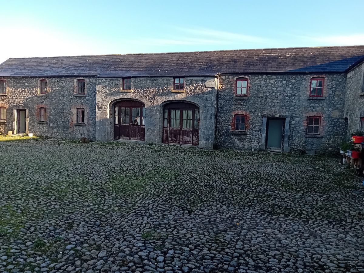 Bawn in BalleagnyBawn · 183 yd
 27th Lock Keep's HouseRuins · 321 yd
 Enclosure in BalleagnyEnclosure · 438 yd
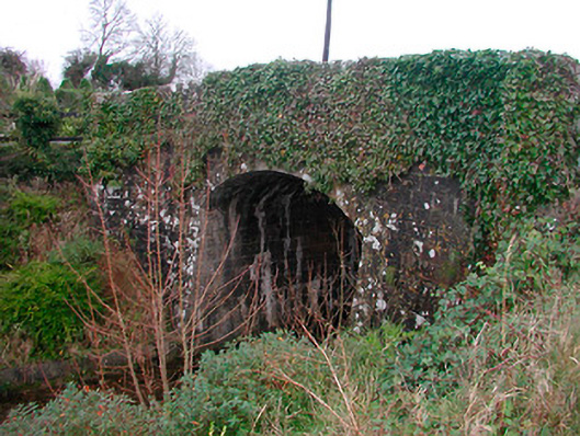 Coolnahay Bridgebridge · 581 yd
 WestmeathVisitor information · 611 yd
 Enclosure in Kilpatrick (rathconrath By.)Enclosure · 1.0 mi
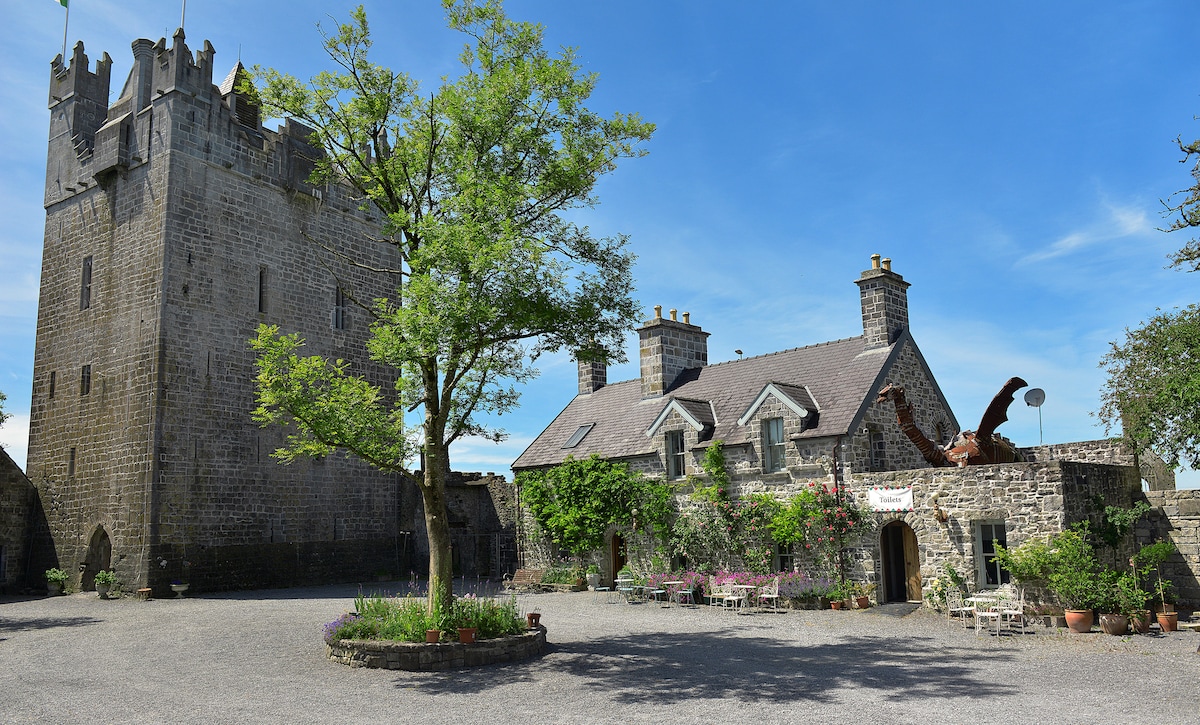 CastleCastle, ringwork · 1.1 mi
 Ancient Ring FortWood · 2.4 mi
 Carrickphilbin IslandIslet · 3.6 mi
 Srudarra IslandIslet · 4.0 mi
 Hill of UisneachMountain / peak · 4.7 mi
 Baronstown ForestWood · 4.8 mi