
What is recorded here
Situated on a low rise, in undulating pasture with good views in all directions. Outside the outer bank of ringfort (WM018-071----) are the remains of two small enclosures. A relatively large subrectangular enclosure (dims. 25m E-W; 21m N-S) defined by a low earthen bank is located at W. A smaller subrectangular enclosure (dims. 13.7m NE-SW; 11.5m NW-SE) defined by a low earthen bank is located at SW. These may be annexes to the ringfort or form part of an old field system. Enclosures not visible on Digital Globe aerial photography.
Compiled by: Alison McQueen, Vera Rahilly and Caimin O’Brien
Date of upload: 05 February 2019
A local fairy fort (ringfort/rath); wider significance not recorded.
The monument record does not grant public access. Check the route and ask the landowner before entering private land.
- What survives
- Recorded monument
Places near here
 28th Lock Keep's HouseRuins · 360 yd
 27th Lock Keep's HouseRuins · 429 yd
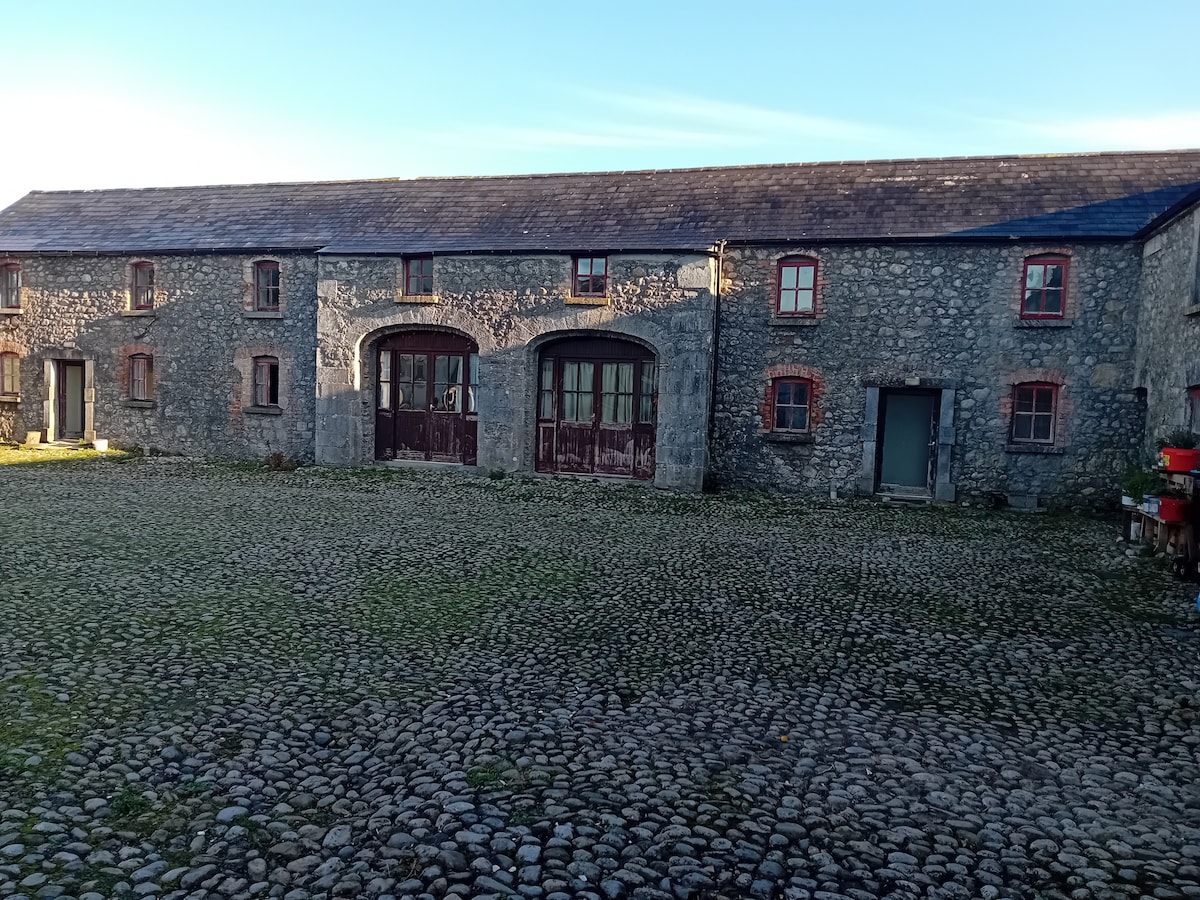 Bawn in BalleagnyBawn · 503 yd
 WestmeathVisitor information · 906 yd
 Kilpatrick FortFairy fort / earthen ringfort · 1683 yd
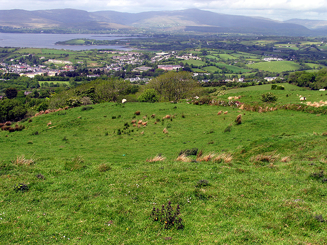 Partially hachuredFairy fort / earthen ringfort · 1699 yd
 Simonstown Castle (in Ruins)Castle, unclassified · 1.2 mi
 Ancient Ring FortWood · 2.3 mi
 Carrickphilbin IslandIslet · 3.6 mi
 Srudarra IslandIslet · 4.0 mi
 Baronstown ForestWood · 4.5 mi
 Hill of UisneachMountain / peak · 4.8 mi
Other information
Photo: Credit not shown in the picture search · Rights wording not checked; contact us if this picture should be removed