What is recorded here
Situated on a fairly level, low-lying pasture landscape. The post-medieval field system (ME009-025----) has three house-platforms placed 10-20m apart around what must have been a rectangular farmyard although no boundaries for it can be seen. This house is visible as raised grass-covered platform (dims 18.5m NE-SW; 5m NW-SE; H 0.6-0.8m).
Compiled by: Michael Moore
Date of upload: 31 October 2018
The monument record does not grant public access. Check the route and ask the landowner before entering private land.
- What survives
- Recorded monument
Places near here
 Enclosure in KnockmacoonyEnclosure · 80 yd
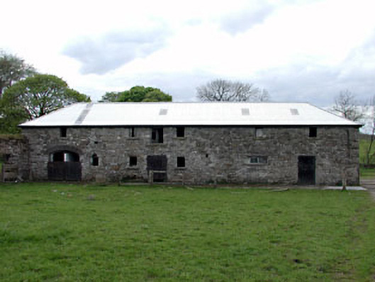 outbuildingoutbuilding · 466 yd
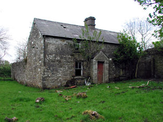 farm housefarm house · 499 yd
 Enclosure in TubrideEnclosure · 543 yd
 Memorial CrossMemorial · 799 yd
 Mount FortuneMountain / peak · 953 yd
 CastleCastle, unclassified · 1749 yd
 C11Named rock · 1.5 mi
 Carnbane WestMountain / peak · 1.6 mi
 LoughcrewMegalithic tomb cemetery · 1.8 mi
 Zip WireHeritage attraction · 1.9 mi
 Common LimeCommon Lime · 1.9 mi