What is recorded here
Some cabins are recorded on the terrier of the Down Survey map of Ballylaneen parish (1655-6) at Ballygarran. They remain unlocated.
Compiled by: Michael Moore.
Date of upload/revision: 8th June, 2011.
The monument record does not grant public access. Check the route and ask the landowner before entering private land.
- What survives
- Recorded monument
Places near here
 Embanked enclosureFairy fort / earthen ringfort · 187 yd
 Embanked enclsoureEnclosure · 569 yd
 Water millWater mill, horizontal-wheeled · 1052 yd
 Ballydowane CoveBeach / strand · 1617 yd
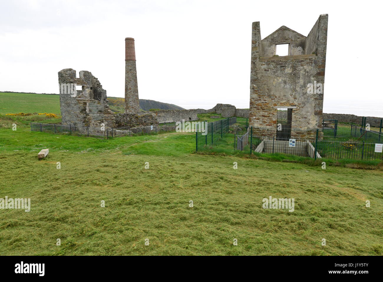 Mine in BallynarridMine · 1.3 mi
 Tra na mBoBeach / strand · 1.7 mi
 Trá na mBóVisitor information · 1.7 mi
 Mandevilles RockCastle, unclassified · 1.7 mi
 Bunmahon Miners' CottagesVisitor information · 1.9 mi
 Bunmahon StrandBeach / strand · 2.0 mi
 Copper CoastCoastal geological landscape · 2.0 mi
 Castle (in ruins)Castle, unclassified · 2.4 mi