What is recorded here
The Down Survey (1655-6) barony map of Crannagh and the parish map of ‘Belanemarra’ (Hibernia Regnum, courtesy of Trinity College Dublin), depicts three houses in 'Ballidowell' townland along the E side of the Arigna River. Another large house (KK013-097001-) is depicted on the barony map W of the Arigna River. The proprietor in 1640 is noted as, 'Countess of Ormond P[ro]testant'. The precise location of these houses is unknown within Ballydowel Big townland.
See attached extract:
KK013-097002-_01 Down Survey (1655-6) barony map of Crannagh (Hib. Reg., courtesy of Trinity College Dublin).
KK013-097002-_02 Down Survey (1655-6) parish map of 'Belanemarra’ (Hib. Reg., courtesy of Trinity College Dublin).
Compiled by: Jean Farrelly
Date of upload: 1 April 2020
The monument record does not grant public access. Check the route and ask the landowner before entering private land.
- What survives
- Recorded monument
Places near here
 Enclosure in Ballydowel BigEnclosure · 516 yd
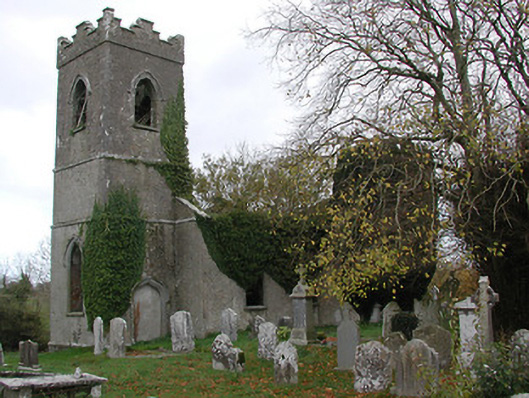 Ballinamara Churchchurch/chapel · 1536 yd
 Trinity WellHoly well · 1686 yd
 Bawn in SartBawn · 1.1 mi
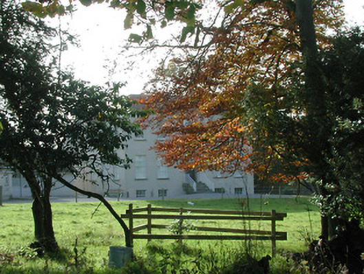 Wellbrook Househouse · 1.3 mi
 Not indciatedCastle, unclassified · 1.4 mi
 Brown's WoodWood · 1.9 mi
 The CopseWood · 2.2 mi
 Freshford LoopWalking route · 2.3 mi
 Graveyard in ThreecastlesGraveyard · 2.4 mi
 Emma Jane Browne-ClaytonMemorial · 2.4 mi
 Anker's IslandIsland · 7.8 mi