What is recorded here
The Down Survey (1655-6) map shows a building in Sutton South. The exact location of this monument is unknown.
The monument record does not grant public access. Check the route and ask the landowner before entering private land.
- What survives
- Recorded monument
Places near here
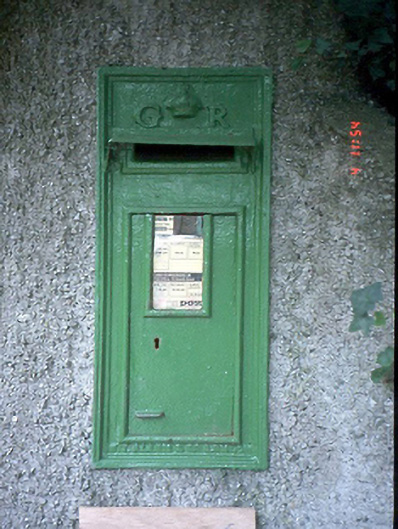 post boxpost box · 150 yd
 Sutton Castlehouse · 342 yd
 St Fintans WellHoly well · 493 yd
 Shielmartin HillMountain / peak · 495 yd
 Red RockViewpoint · 502 yd
 Martello TowerMartello tower · 538 yd
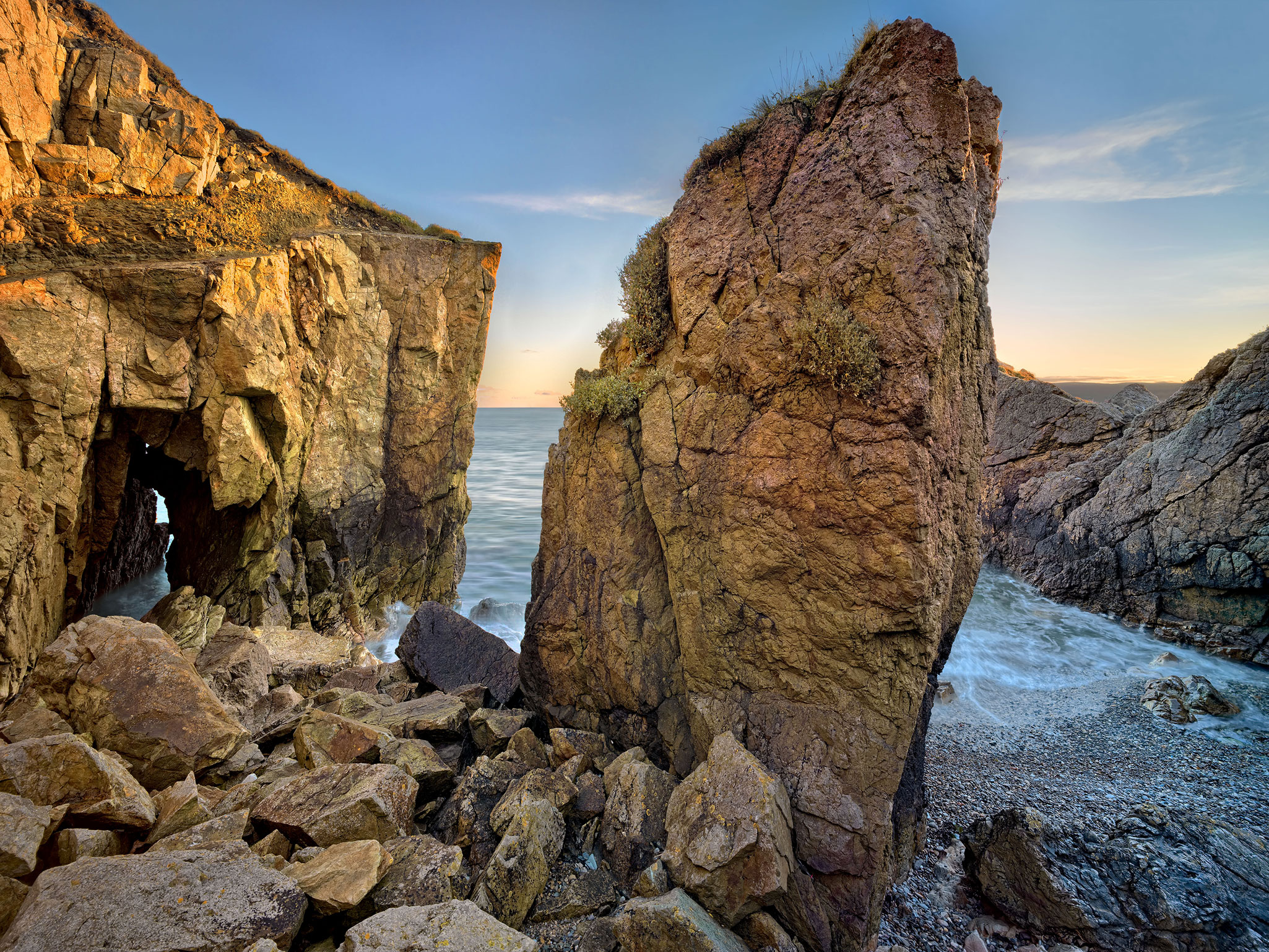 Red Rock BeachBeach / strand · 691 yd
 Howth Cliff WalkWalking route · 868 yd
 Wild Rhododendron GardensWood · 1223 yd
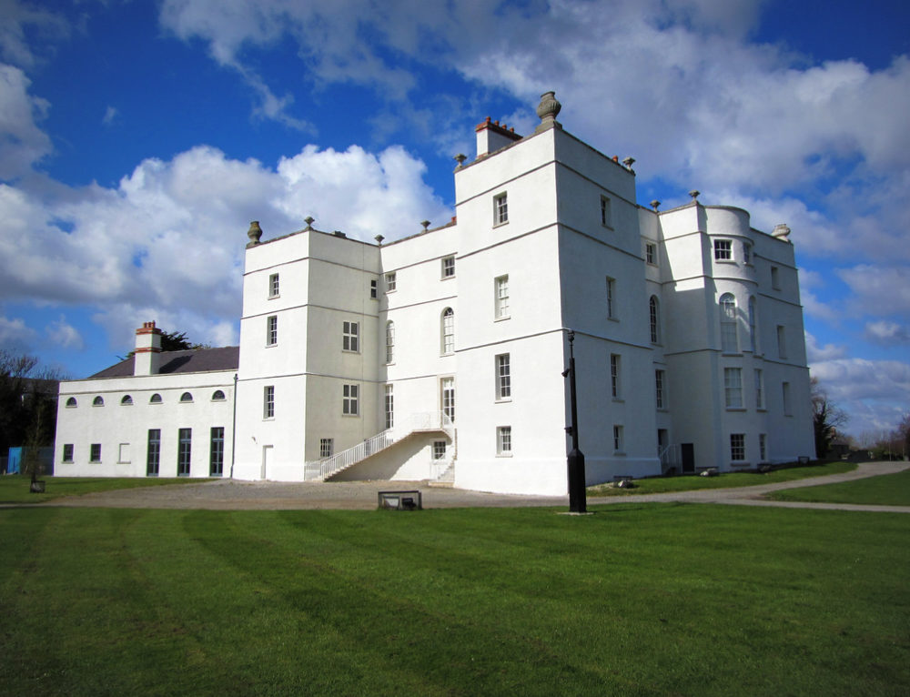 Drumluck CastleCastle, unclassified · 1363 yd
 Ben of HowthMountain / peak · 1462 yd
 Howth Bog of the Frogs LoopWalking route · 1564 yd