What is recorded here
The terrier accompanying the Down Survey parish map of Agharny (1655-6) states that, 'at Lisdowny a stone house in repaire and cabbins'. The house has been identified with Lisdowney House (KK009-066002-), however the 'cabbins' remain unlocated within the townland.
Compiled by: Jean Farrelly
Date of upload: 9 February 2018
The monument record does not grant public access. Check the route and ask the landowner before entering private land.
- What survives
- Recorded monument
Places near here
 CastleCastle, unclassified · 1126 yd
 Saint Brigid's Catholic Churchchurch/chapel · 1197 yd
 Enclosure in LisdowneyEnclosure · 1352 yd
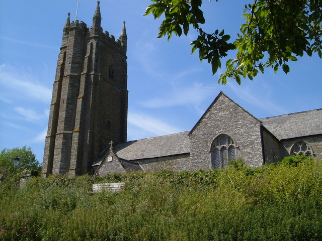 Church in Seskin SouthChurch · 1675 yd
 St. Bridgets WellHoly well · 1.1 mi
 Mountgarret Castle (in ruins)Castle, unclassified · 1.6 mi
 Anker's IslandIsland · 2.9 mi
 The CopseWood · 4.4 mi
 Street fieldArchaeological place · 4.6 mi
 Clomantagh HillMountain / peak · 5.2 mi
 DelaneyMemorial · 6.7 mi
 Cnoc SeanrathaMemorial · 7.8 mi