What is recorded here
This record is for one of two houses depicted in a townland named ‘Killaghtvelly’ on the Down Survey barony map of Corcomroe (1655-8) available at https://downsurvey.tchpc.tcd.ie/down-survey-maps.php. This equates to the present townland of Laghvally. The exact location of the houses is unknown. See also CL015-120----.
Compiled by: Mary Tunney and Eve Campbell
Date of upload: 29 October 2025
The monument record does not grant public access. Check the route and ask the landowner before entering private land.
- What survives
- Recorded monument
Places near here
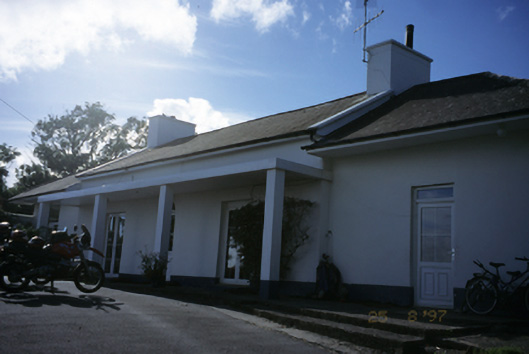 Sandfield Lodgehouse · 524 yd
 Enclosure in LaghcloonEnclosure · 635 yd
 IndicatedFairy fort / earthen ringfort · 801 yd
 Kilmacreehy Ch. (in ruins)Church · 1047 yd
 Dough CastleRuins · 1687 yd
 Lahinch BeachBeach / strand · 1.2 mi
 John P. Holland CentreMuseum · 1.3 mi
 Liscannor Castle (in Ruins)Castle, tower house · 1.5 mi
 Bridget's Well;St Bridget's WellSpring · 2.2 mi
 Kilmanahn GraveyardRuins · 2.3 mi
 Famine MemorialMemorial · 2.5 mi
 Cliffs of Moher Visitor CentreVisitor information · 2.7 mi