What is recorded here
The Down Survey (1655-6) map shows a dwelling at Colmanstown. The exact location of this monument is unknown.
Compiled by Geraldine Stout
The monument record does not grant public access. Check the route and ask the landowner before entering private land.
- What survives
- Recorded monument
Places near here
 Chapel (site of), GraveyardChurch · 173 yd
 Colmanstown Castle (in ruins)Castle, tower house · 304 yd
 Earthwork in AthgoeEarthwork · 883 yd
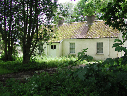 The Cottagehouse · 911 yd
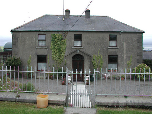 Keatingspark Housefarm house · 922 yd
 Athgoe HillMountain / peak · 1116 yd
 Saint Finian's WellSpring · 1.3 mi
 CastleCastle, tower house · 1.4 mi
 Inniscara GalleryGallery · 1.4 mi
 European YewEuropean Yew · 1.6 mi
 Icehouse WoodWood · 1.7 mi
 Meadow WildlifeVisitor information · 2.2 mi