What is recorded here
Two houses marked on Strafford/OS composite map in NLI to the SE of deserted settlement (RO040-051001-) and the Strafford map of 1636 has two houses in such a position in Carron townland (Simington 1949, Ballintober A (25)). These houses were not encountered.
Compiled by: Michael Moore
Date of upload: 24 August 2010
The monument record does not grant public access. Check the route and ask the landowner before entering private land.
- What survives
- Recorded monument
Places near here
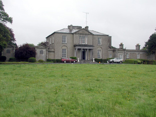 Carrowroe Parkcountry house · 353 yd
 Church in CarrowroeChurch · 371 yd
 Big IslandForest · 569 yd
 Little IslandForest · 577 yd
 IndicatedFairy fort / earthen ringfort · 808 yd
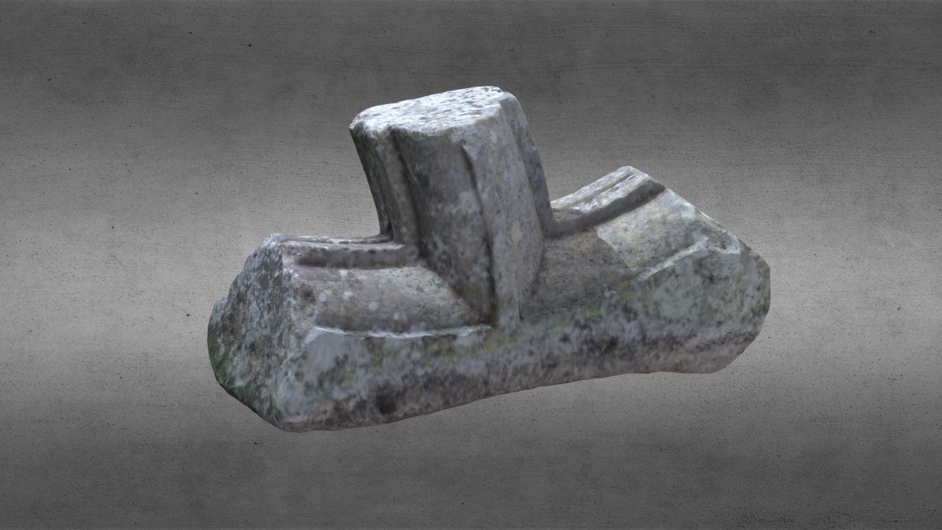 St. Comans VatHoly well · 1.4 mi
 Roscommon CastleCastle · 1.8 mi
 Hangman's HillMountain / peak · 3.8 mi
 Cruit BayBay · 4.7 mi
 Galey CastleCastle, tower house · 4.8 mi
 Galey BayBay · 4.9 mi
 FerrinchIslet · 5.3 mi