What is recorded here
Maeve's well is lost inside Mounthill, named for a goddess but never pinned to a single stone. The place exists only through memory and the official record, waiting for someone to remember the lane, the bank or the dripping shade where the water appeared.
The official Northern Ireland record identifies this as HOLY WELL: MAVE or MAEVE'S WELL (unlocated). Recorded period: UNCERTAIN. The official map point was placed at the centre of the recorded archaeological site from the source map reference.
Linked to the name Mave or Maeve, possibly connected to the legendary Queen Medb of Connacht, the well may have been associated with fertility or warrior traditions. Such wells often featured in early Irish folklore as sites of healing or supernatural power.
The monument record does not grant public access. Check the route and ask the landowner before entering private land.
- What survives
- Recorded monument
Places near here
 Golf 30Fort · 1486 yd
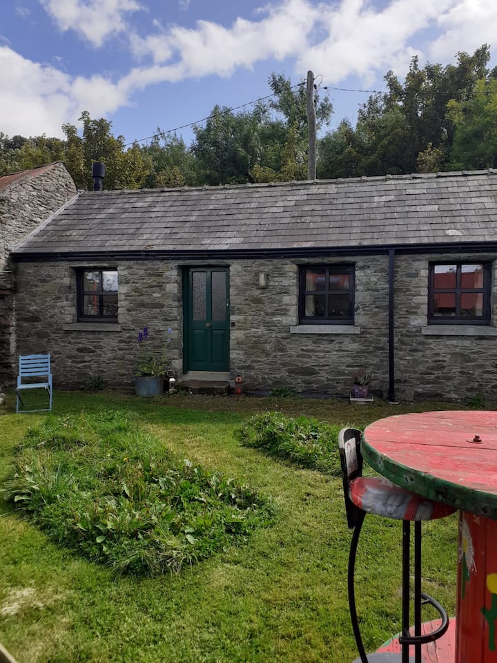 Enclosure in TawnamoreEnclosure · 1572 yd
 IndicatedFairy fort / earthen ringfort · 1.3 mi
 Ballsmill Amenity LandPicnic place · 1.6 mi
 Roche CastleCastle, Anglo-Norman masonry castle · 2.0 mi
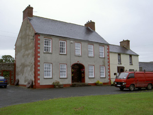 Clonaleenaghan Househouse · 2.2 mi
 Sky HillMountain / peak · 2.2 mi
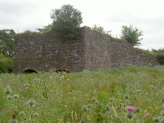 kilnkiln · 2.4 mi
 MEDIEVAL & POST-MED. CHURCH & GRAVEYARD in Creggan Bane GlebeMEDIEVAL & POST-MED. CHURCH & GRAVEYARD · 2.5 mi
 Irish Hunger StrikersMemorial · 2.9 mi
 Battle of Newry Roadbattle · 3.0 mi
 Mass Rock Loop TrailWalking route · 3.2 mi