What is recorded here
Fairy fort / ringfort in Hightown or Balloughter is a fairy fort or ringfort in Hightown or Balloughter, County Westmeath, Ireland. Situated on a small hillock in low-lying wet pasture, the site appears as a small enclosure on the 1837 OS Fair Plan map. A 1971 description recorded the levelled monument as an oval-shaped area defined by an arc of a steep scarp, approximately 1.3 metres high, extending from west-northwest through north to east-northeast. A very narrow and shallow depression at the base of the scarp at the west-northwest may signify the remains of a fosse.
Situated on a small hillock, in low-lying wet pasture. Annotated 'Fort on the 1837 OS Fair Plan map and depicted as a small enclosure. Levelled monument described in 1971 as the remains of an oval-shaped area which is now defined by an arc of a steep scarp (approx. H 1.3m) extending from WNW-N-E. There is a very narrow and shallow depression at the base of the scarp at WNW, which may signify the remains of a fosse. Monument is visible today as a roughly subcircular-shaped earthwork forming the SE end of a natural ridge running NW-SE on Digital Globe aerial photography
Compiled by Alison McQueen, Vera Rahilly and Caimin O’Brien.
Date of upload: 06 November 2019
The monument record does not grant public access. Check the route and ask the landowner before entering private land.
- What survives
- Recorded monument
Places near here
 Enclosure in Hightown or BalloughterEnclosure · 1565 yd
 OutlinedFairy fort / earthen ringfort · 1638 yd
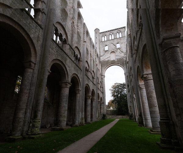 Abbey RuinsChurch · 1.4 mi
 Moat of PassCastle, motte · 1.4 mi
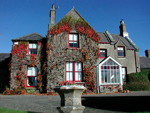 Claremont Housecountry house · 1.6 mi
 Heathstown CastleCastle, tower house · 1.6 mi
 Roundhill WoodForest · 8.1 mi
 Rahin WoodsForest · 8.2 mi
 Croppies' GraveMemorial · 9.2 mi
 St. Bridgets WellHoly well · 1.4 mi
 Fairy fort / ringfort in Pass OF KilbrideFairy fort / ringfort · 1.5 mi
 CrossCross, Wayside cross · 1.5 mi