What is recorded here
Fairy fort / earthen ringfort in Hightown or Balloughter is a fairy fort or earthen ringfort in Hightown or Balloughter, County Westmeath, Ireland. Situated on top of a prominent rise at 348 feet or 106 meters above sea level in undulating pasture, it offered extensive views in all directions. The 1837 Ordnance Survey Fair Plan map annotated the site as a fort and depicted it as an oval-shaped tree-lined enclosure. A 1971 survey described the levelled monument as a roughly circular area with a 28 meter diameter, defined by a narrow 4.5 meter wide band of vegetation contrasting with the rest of the field, and noted a slight northeast-facing slope inside.
Situated on top of a prominent rise (348ft/106m OD), in undulating pasture, with extensive views in all directions. Annotated 'Fort' on the 1837 OS Fair Plan map and depicted as an oval-shaped tree-lined enclosure. Levelled monument described in 1971 as a roughly circular-shaped area (diam. 28m) defined by a narrow band (approx. Wth 4.5m) of vegetation which is in contrast to the rest of the field. The interior has a slight NE-facing slope. The site would be suitable for a ringfort. Levelled monument clearly visible today as a large oval-shaped cropmark on Digital Globe aerial photography.
Compiled by Alison McQueen, Vera Rahilly and Caimin O’Brien.
Date of upload: 06 November 2019
The monument record does not grant public access. Check the route and ask the landowner before entering private land.
- What survives
- Recorded monument
Places near here
 Enclosure in Hightown or BalloughterEnclosure · 859 yd
 OutlinedFairy fort / earthen ringfort · 1027 yd
 Heathstown CastleCastle, tower house · 1.1 mi
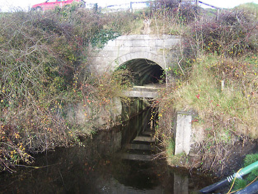 aqueductaqueduct · 1.3 mi
 sluice/sluice gatesluice/sluice gate · 1.3 mi
 Moat of PassCastle, motte · 2.0 mi
 Roundhill WoodForest · 8.5 mi
 Rahin WoodsForest · 8.5 mi
 Croppies' GraveMemorial · 9.3 mi
 Dotted outlineFairy fort / earthen ringfort · 1.4 mi
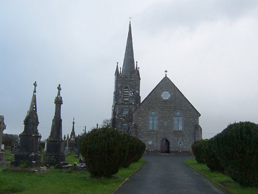 Saint Agnes's Catholic Churchchurch/chapel · 1.4 mi
 CrossCross, Wayside cross · 1.4 mi