What is recorded here
Located at the crest of the S-facing slope of the ENE-WSW Fourknocks ridge. An oval enclosure (dims c. 70m NE-SW; c. 45m NW-SE) defined by a wide fosse (Wth c. 4-5m) is visible on Google Earth (17/10/2017; 25/06/2018). It is also visible on Digital Globe c. 2013 and Apple Maps, and it may have been an ornamental wood on the demesne of Herbertstown House. It was first reported by Ian Lennon.
See the attached views from Google Earth _1 (25/06/2018); _3 (17/10/2017)
Compiled by: Michael Moore
Date of upload: 2 December 2020
The monument record does not grant public access. Check the route and ask the landowner before entering private land.
- What survives
- Recorded monument
Places near here
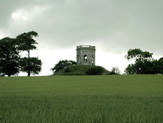 Herbertstown Housebelvedere, gazebo · 559 yd
 Enclosure in NaulEnclosure · 600 yd
 Tullog WoodForest · 1036 yd
 Naul Park HouseCastle, unclassified · 1370 yd
 Naul Bridgebridge · 1408 yd
 Bawn in NaulBawn · 1497 yd
 Enclosure in TullogEnclosure · 1595 yd
 Seamus Ennis Cultural CentreMemorial · 1704 yd
 Bun-na-CnoicMemorial · 1.3 mi
 FourknocksPassage tomb · 1.6 mi
 Naul HillMountain / peak · 1.6 mi
 Ballshill PlantingForest · 1.7 mi