What is recorded here
On a natural rise in pasture, with spectacular views to the N-NE onto the Mourne Mountains, elsewhere undulating terrain restricts the views. Drystone built Man-made underground passage with two openings in the N-facing slope of a rise just below the summit. The first opening is through a partially collapsed roof of a corbelled beehive chamber (diam. of floor level 1.9m, H c. 1.5m) which is now filled with collapsed stone. A passage (L c. 3.5m; H c. 1.3m) leads off this chamber in a S-N direction and it narrows from the floor to the roof (Wth at base c. 1m; Wth at roof c 0.70m). The second opening is c. 0.5m to the S of the first and from this a poorer preserved passage continues for a further 4m (Wth c.1.30m; H 1.20m) where it is completely blocked by collapsed material. (McKeown 2003, 275-6)
Compiled by: Claire Breen
Date of upload: 4 May 2012
The monument record does not grant public access. Check the route and ask the landowner before entering private land.
- What survives
- Recorded monument
Places near here
 MountCastle, motte and bailey · 407 yd
 CastleCastle, tower house · 643 yd
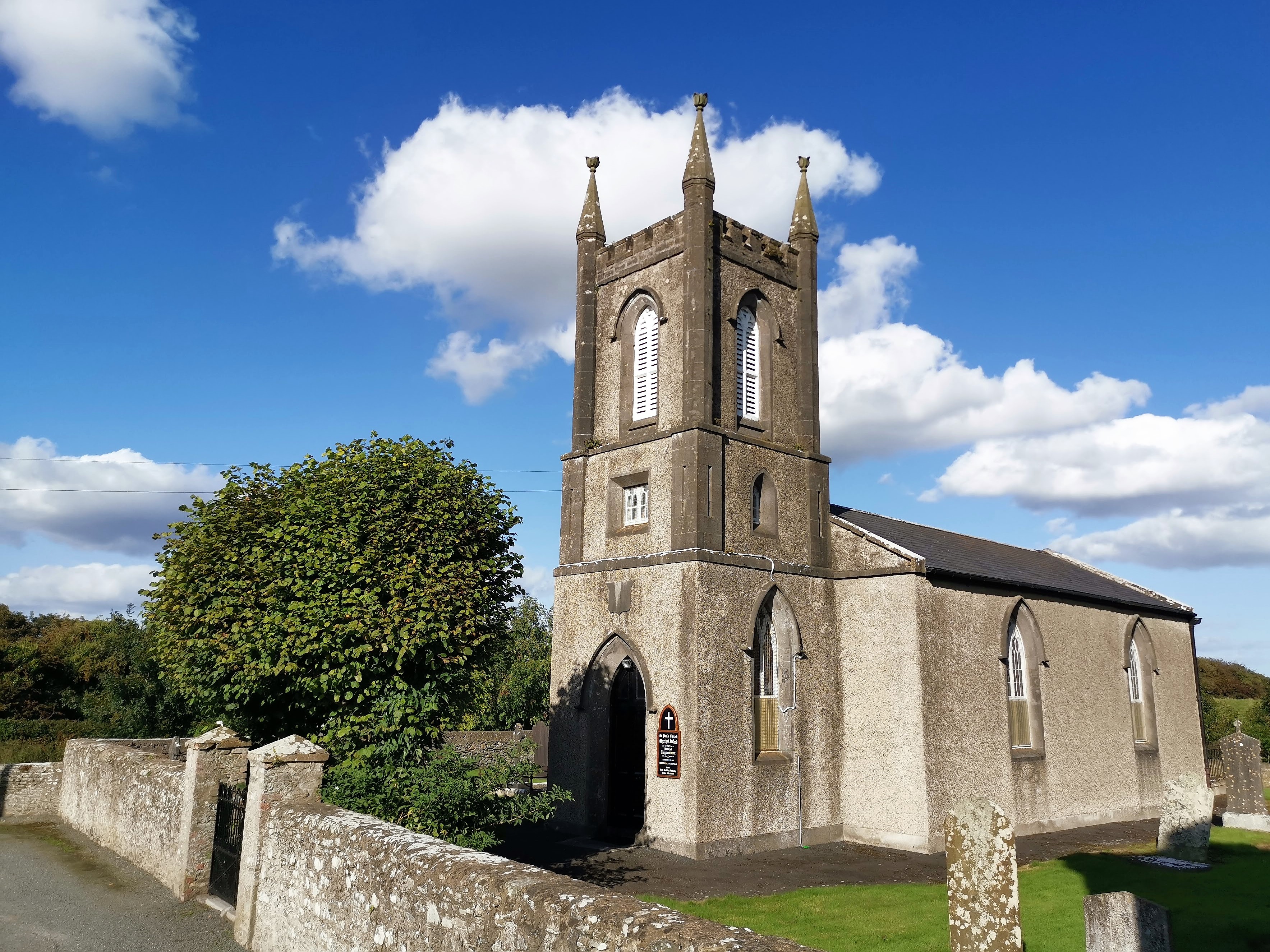
 Saint Paul's Church (Haynestown)church/chapel · 668 yd
 The Rectoryrectory/glebe/vicarage/curate's house · 733 yd
 Long WoodForest · 1023 yd
 Broad WoodForest · 1183 yd
 Enclosure in DunmahonEnclosure · 1274 yd
 Field system in Commons (dromiskin Par.)Field system · 1368 yd
 BallybarrackMountain / peak · 2.1 mi
 Photo GalleryHeritage attraction · 3.2 mi
 Dundalk CentralHeritage attraction · 3.3 mi
 Bombing 1975Memorial · 3.4 mi