What is recorded here
Half-buried on the south slope of Piperstown Hill, Site P holds a shallow ring of stones around a rectangular mica-schist hearth. Its entrance faces southeast, while the hearth stretches east to west with one end left open. In the Late Neolithic or Early Bronze Age, people may have sat beside that unfinished fire, watching smoke pull toward the hills.
Situated on the S slopes of Piperstown Hill. A habitation site known as Site P. ‘Site P: A roughly circular ring of small stones which seldom rise above the present ground surface; some of the stones . . . are buried so deeply in the ground that they may be there naturally. It averages about 4-50 m. in internal diameter. The entrance appears to be in the S-E. Slightly off-centre is a rectangular hearth-site constructed of slabs of mica-schist, with its long axis orientated E-W. This is not, apparently, closed at its western end’ (Rynne and Ó hEailidhe 1965, 75) This is part of an extensive settlement and cemetery of Late Neolithic/Early Bronze Age date.
Compiled by: Paul Walsh and Padraig Clancy
Revised upload on: 8 July 2018
The monument record does not grant public access. Check the route and ask the landowner before entering private land.
- What survives
- Recorded monument
Places near here
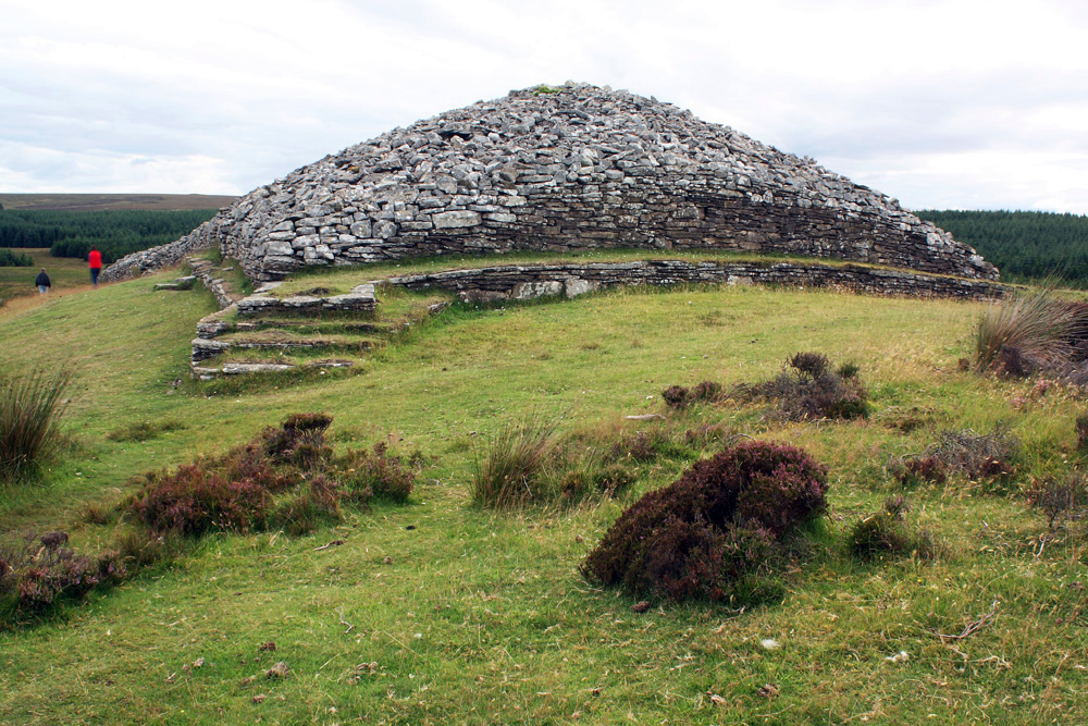 CairnCairn, burial cairn · 12 yd
 Habitation site in PiperstownHabitation site · 20 yd
 Ice HousesRuins · 306 yd
 SpinkeenMountain / peak · 478 yd
 Featherbed ForestForest · 791 yd
 Saint Ann's WellSpring · 864 yd
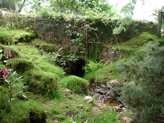 bridgebridge · 923 yd
 Saint Ann's GraveyardRuins · 1057 yd
 Dublin Mountains Way - Hellfire & Massey spurWalking route · 1450 yd
 Dublin Mountains Way Hellfire & Massey SpurWalking route · 1598 yd
 CastleCastle, unclassified · 1663 yd
 Hellfire WoodForest · 1.0 mi