What is recorded here
Half the hearth was already gone when the diggers arrived, stolen by greedy hands the year before. What remained was a shallow stone ring on the south slope of Piperstown Hill, holding the ghost of a fire that burned during the Late Neolithic or Early Bronze Age. Twenty-three flints lay scattered around it, most of them mere chips rather than finished tools. The site belongs to a much larger settlement and cemetery, suggesting this was not a lonely shelter but one room in a busy hilltop village where people cooked, argued and raised the dead.
Situated on the S slopes of Piperstown Hill. A habitation site known as Site L. Excavated in 1962 it was found to comprise an irregular stony area with a central hearth defined by thin slabs on the north-eastern and south-eastern sides: the slabs along the other two sides had been removed by ‘treasure-hunting’ activities at the site during the previous year. The only finds from the excavation were twenty-three flints, all artificially struck but only four of which were artefacts, including a concave scraper. (Rynne and Ó hEailidhe 1965, 69-71). This is part of an extensive settlement and cemetery of Late Neolithic/Early Bronze Age date
Compiled by: Paul Walsh and Padraig Clancy
Revised upload on: 8 July 2018
The monument record does not grant public access. Check the route and ask the landowner before entering private land.
- What survives
- Recorded monument
Places near here
 Habitation site in PiperstownHabitation site · 9 yd
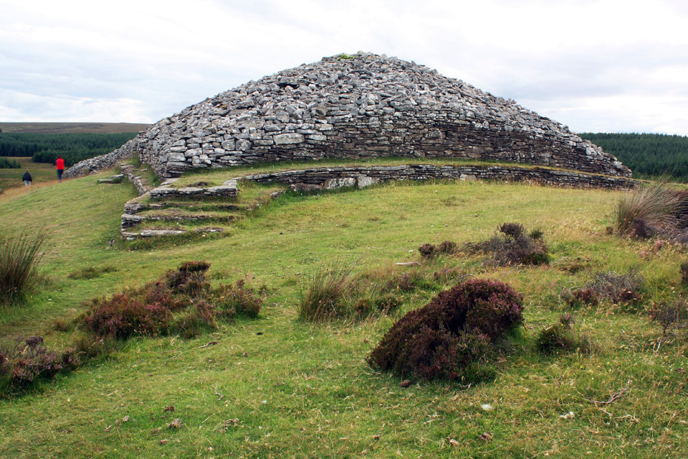 CairnCairn, burial cairn · 10 yd
 Ice HousesRuins · 314 yd
 SpinkeenMountain / peak · 491 yd
 Featherbed ForestForest · 785 yd
 Saint Ann's WellSpring · 866 yd
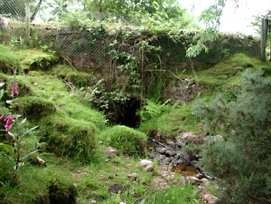 bridgebridge · 915 yd
 Saint Ann's GraveyardRuins · 1057 yd
 Dublin Mountains Way - Hellfire & Massey spurWalking route · 1454 yd
 Dublin Mountains Way Hellfire & Massey SpurWalking route · 1601 yd
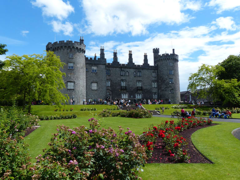 CastleCastle, unclassified · 1654 yd
 Hellfire WoodForest · 1.0 mi