What is recorded here
Indicated is a walled graveyard beside Lough Melvin where two cross-slabs and a cup-marked stone still mark the dead. The flat, low ground holds layers of clay, sand and forgotten human change, while the old church watches from the north side. New burials began east of the lane before 2005, continuing the same purpose on ground the lake wind has always touched.
Located on flat, low-lying ground c. 140m from the S shore of Lough Melvin and on the W side of an entrance lane. The church (LE005-003001-) is at the N side of a rectangular graveyard (dims c. 50m N-S; c. 20-25m E-W) defined by masonry walls. It contains two cross-slabs and a stone with two cup-marks. A new graveyard was commenced E of the lane before 2005 (OSAP). Archaeological testing (18E0055) S of the new graveyard reached subsoil, a grey sand / gravel (D 0.6-0.75m) without encountering archaeological features (Carey 2018), and further testing (19E0042) E of the church revealed a very disturbed area of re-deposited clays, silts and sand incorporating plastics (D 1.6-2.2m) over the gravel subsoil (Carey 2019). (See Excavations.ie: 2019:030)
Compiled by: Michael Moore
Date of upload: 7 January, 2016
Amended; 10 January 2020
The monument record does not grant public access. Check the route and ask the landowner before entering private land.
- What survives
- Recorded monument
Places near here
 Not indicateedHoly well · 210 yd
 Ross PointHeadland · 835 yd
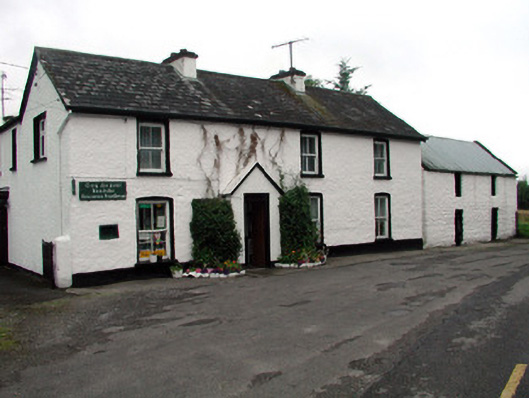 Rossinver Post Officehouse · 1238 yd
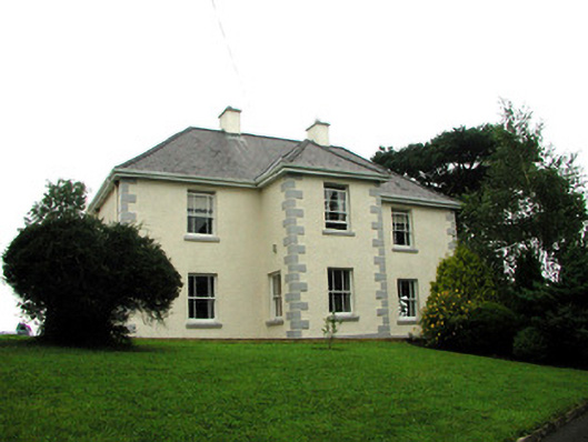 presbytery/parochial/curate's housepresbytery/parochial/curate's house · 1342 yd
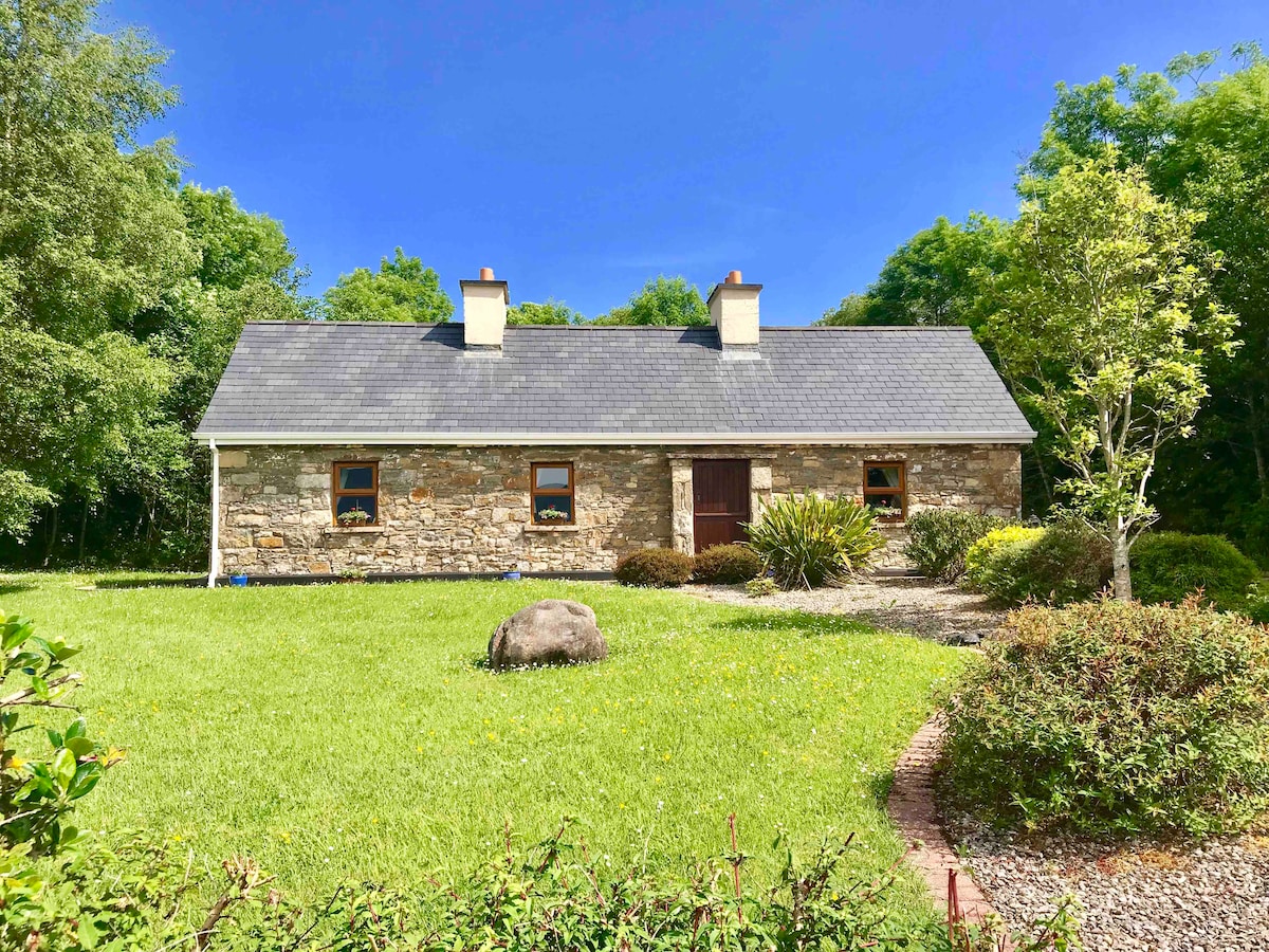 IndicatedFairy fort / ringfort · 1502 yd
 Giant's GraveArchaeological place · 1.0 mi
 Fowley's FallsPicnic place · 1.3 mi
 Sally IslandIslet · 2.0 mi
 Bilberry IslandIslet · 2.0 mi
 Saddle HillMountain / peak · 3.3 mi
 Conwal NorthMountain / peak · 3.4 mi
 Kilroosk RockNamed rock · 4.6 mi