What is recorded here
In deciduous woodland, on an E-facing slope. Sunken circular area (diam. 9m) cut into hillslope (D 1.55m) on W-side and raised (H 1.6m) on E-side. Depression within interior is excentuated by this cutting and filling technique. Possible entrance (Wth 2m) at N. Ttrackway flanks S-side as per latest edition OS 6-inch map. Possibly an outpost enclosure associated with cliff-edge fort (TS070-077----) and enclosure (TS070-077001-) c. 70m to W.
Compiled by: Jean Farrelly
Date of upload: 26 August 2011
The monument record does not grant public access. Check the route and ask the landowner before entering private land.
- What survives
- Recorded monument
Places near here
 Enclosure in GroveEnclosure · 102 yd
 Pedunculate OakPedunculate Oak · 420 yd
 Grove WoodForest · 784 yd
 Enclosure in Strike LowerEnclosure · 829 yd
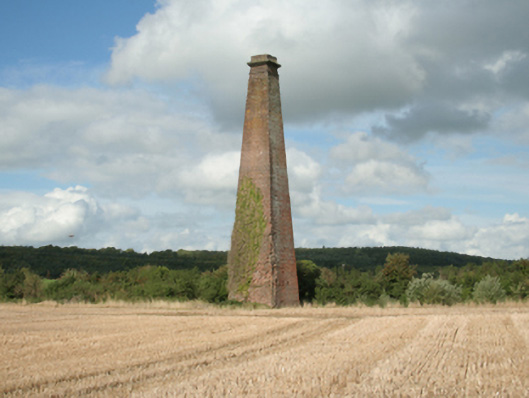 Kiltinan Brick Workschimney · 1067 yd
 Grove Housebridge · 1116 yd
 CastleCastle, Anglo-Norman masonry castle · 1.1 mi
 East GateMemorial · 1.3 mi
 Edmond's CastleCastle · 1.3 mi
 Kilknockan HillMountain / peak · 2.3 mi
 CarrigdotiaMountain / peak · 3.2 mi
 Coolmundry Church (in ruins)Church · 1333 yd