What is recorded here
Cropmark of circular shaped enclosure (approx. diam. 37m) with possible field system visible on Google Earth imagery taken 28/06/2018.
See attached image taken from Google Earth
Compiled by: Caimin O'Brien based on details kindly provided by Chris Corlett
Date of upload: 29 November 2018
The monument record does not grant public access. Check the route and ask the landowner before entering private land.
- What survives
- Recorded monument
Places near here
 Enclosure in GreatconnellEnclosure · 269 yd
 Town defences in GreatconnellTown defences · 472 yd
 Greatconnell Abbey (in ruins)Religious house, Augustinian canons · 608 yd
 CastleCastle, unclassified · 918 yd
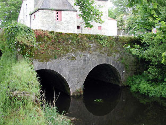 bridgebridge · 1629 yd
 Newbridge SilverwareMuseum · 1750 yd
 TumulusCastle, motte and bailey · 1.6 mi
 ElderElder · 2.6 mi
 Pollardstown Fen Nature ReserveNature reserve · 3.3 mi
 Hill of AllenMountain / peak · 5.6 mi
 Grand Canal WayVisitor information · 7.2 mi
 Battle of Kilrushbattle · 8.0 mi