What is recorded here
On the W edge of a ridge of limestone outcrop which rises gradually to the E. It occupies a defensive position overlooking the Clashawley river valley floor below. Located inside bawn of tower house (TS054-037002-) and immediately adjoining the SE angle of the 17th-century house (TS054-037003-) there is a sunken square-shaped area (dims. 12.5m N-S; 15.1m E-W; D 0.7m) which may represent a walled area/garden or inner courtyard associated with the house. It appears to be aligned with the 17th-century gateway into the bawn (TS054-037001-).
Compiled by: Jean Farrelly
Date of upload: 26 August 2011
The monument record does not grant public access. Check the route and ask the landowner before entering private land.
- What survives
- Recorded monument
Places near here
 Castle (in ruins)Castle, tower house · 30 yd
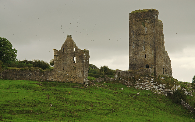 Bawn in GraystownBawn · 255 yd
 Graystown Church (in ruins)Church · 421 yd
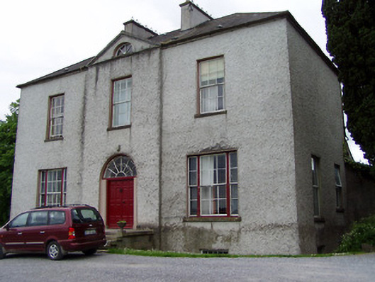 Helen Parkhouse · 1088 yd
 Enclosure in Ballintogher (graystown Par.)Enclosure · 1225 yd
 RathmooleyFairy fort / earthen ringfort · 1625 yd
 Noan WoodWood · 1.8 mi
 Slieveardagh Heritage CentreVisitor information · 1.8 mi
 Gobban Saer's GraveArchaeological place · 2.5 mi
 Taylor's WoodWood · 2.6 mi
 Ballinure HillMountain / peak · 2.9 mi
 Derrynaflan TrailHeritage attraction · 3.4 mi