What is recorded here
Graveyard in Borrisland North stands at the west end of Borrisoleigh, holding the vanished church that maps recorded in 1840 but erased by 1904. It is not known whether the burial ground marks a pre-1700 church, yet it has preserved the shape of a place that stopped being visible. The stones may still belong to the burgage of Leth named in the 1302 taxation of the Diocese of Cashel, giving the quiet ground a older claim than its present silence suggests.
Located at the W end of the town of Borrisoleigh and depicted on the 1904 OS 6-inch map as being located in the middle of a graveyard. Lewis (1837, 217) mentions the ruins of a church in Borrisoleigh, however, the church marked on the 1840 ed. OS 6-inch map as an upstanding church in the present graveyard, had disappeared by the 1904 edition. There is no definite evidence that this is the site of a pre-1700 church (TN034-046003). In the taxation of the Diocese of Cashel in 1302, revenue is collected from the 'burgage of Leth' (CDI, vol. 5, 282).
The above description is derived from 'The Archaeological Inventory of County Tipperary. Vol. 1 - North Tipperary' compiled by Jean Farrelly and Caimin O'Brien (Dublin: Stationery Office, 2002). In certain instances the entries have been revised and updated in the light of recent research.
Date of upload/revision: 22 September 2008
The monument record does not grant public access. Check the route and ask the landowner before entering private land.
- What survives
- Recorded monument
Places near here
 Borrisoleigh National Schoolschool · 123 yd
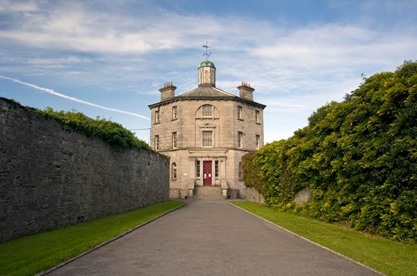
 The Barrackshouse · 132 yd
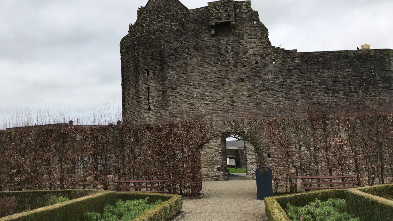
 Castle (in ruins)Castle, tower house · 516 yd
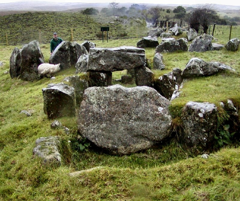 Enclosure in KnockanevinEnclosure · 692 yd
 Enclosure in Curraghglass (glenkeen Par.),garrangrena LowerEnclosure · 1.3 mi
 Cloghaneena Castle (in ruins)Castle, tower house · 1.4 mi
 Kilvilcorris BogForest · 2.3 mi
 Pallas HillMountain / peak · 3.6 mi
 Moher HillMountain / peak · 3.9 mi
 Morris's GroveForest · 5.0 mi
 James Devaney MemorialMemorial · 12 mi
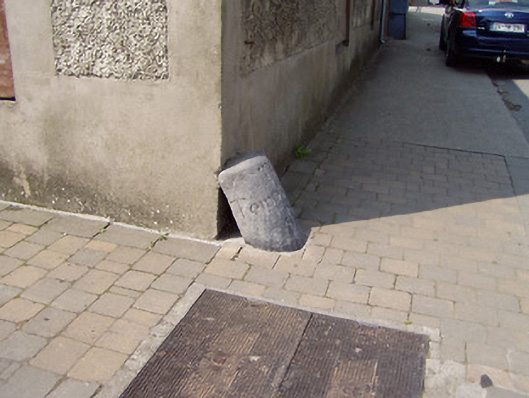 wheelguardwheelguard · 234 yd