
What is recorded here
On a gentle E-facing slope, just below the crest of a hill, in rolling grassland, c. 50m NE of a stream which flows into a river c. 400m to the E. In the NW quadrant of the graveyard (KK009-013002-) associated with the medieval church of Coolcashin (KK009-013001-). One of two 13th/14th-century tapering graveslab fragments. The upper portion of a limestone graveslab (L 0.47m; top total Wth 0.4m; upper surface Wth 0.32m - tapering to Wth 0.25m; T 0.3m) with deep chamfered edges (Wth 0.08-0.1m). The slab is decorated with an incised three-armed cross with trefoil terminals (Higgins 1989, 606-7). The other graveslab (KK009-019006-) is the lower portion of a similar slab, but the dimensions indicate that they are not part of the same slab.
Compiled by: Jean Farrelly
Date of upload: 31 January 2018
The monument record does not grant public access. Check the route and ask the landowner before entering private land.
- What survives
- Recorded monument
Places near here
 Church (in ruins)Church · 6 yd
 Grave YardGraveyard · 11 yd
 Holy well in CoolcashinHoly well · 29 yd
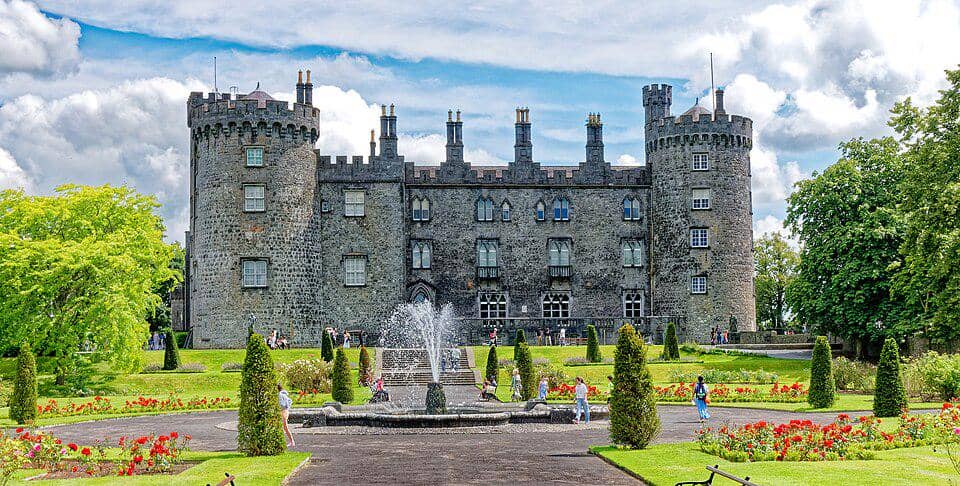 CastleCastle, unclassified · 91 yd
 Saint Muntchan's Catholic Churchchurch/chapel · 658 yd
 Balleen Castle (ruins)Castle · 1.6 mi
 Street fieldArchaeological place · 2.3 mi
 Clomantagh HillMountain / peak · 2.8 mi
 John HelyMemorial · 4.0 mi
 DelaneyMemorial · 4.0 mi
 The CopseWood · 4.1 mi
 Anker's IslandIsland · 5.4 mi
Other information
Photo: A.-K. D. · CC BY-SA 4.0