What is recorded here
Named 'Graves' on the 1st. ed. (1838) of the OS 6-inch map some 80m W of the Gibbet Rath (KD023-042----). Traditionally, the rath was the scene of a massacre of insurgents by Crown Forces under General Duff in 1798, and the 'Graves' may be associated with that event.
Compiled by: Gearóid Conroy
Date of upload: 10 June 2011
The monument record does not grant public access. Check the route and ask the landowner before entering private land.
- What survives
- Recorded monument
Places near here
 Gibbet RathFairy fort / earthen ringfort · 152 yd
 Enclosure in Curragh (kildare Ed)Enclosure · 424 yd
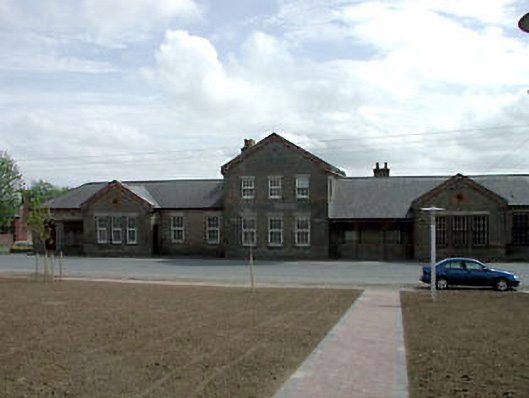 library/archivelibrary/archive · 1.1 mi
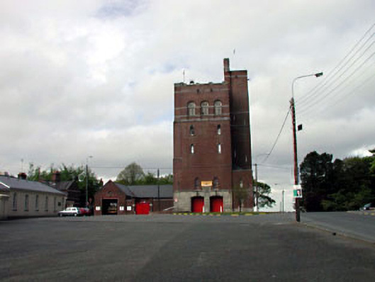 Curragh Camp Fire Stationfire station · 1.4 mi
 Saint Fiachra's GardenHeritage attraction · 1.6 mi
 Bee-bee treeBee-bee tree · 1.7 mi
 Tully Ho.Castle, unclassified · 1.7 mi
 Dawn RedwoodDawn Redwood · 1.7 mi
 Irish National Stud and Japanese GardensHeritage attraction · 1.7 mi
 CastleCastle, motte · 2.0 mi
 Bithia Mary CrokerMemorial · 7.4 mi
 Grand Canal WayVisitor information · 8.3 mi